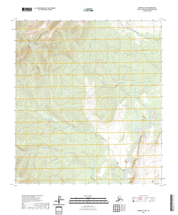
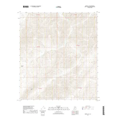
2024 Map of Medfra B-2 NW
USGS Topo · Published 2024About this map
The Kuskokwim Mountains dominate the western portion of this landscape, giving way to the meandering course of the North Fork Kuskokwim River as it snakes through the eastern lowlands. This environment is defined by its complex drainage network, where several major tributaries converge toward the river's floodplains. Notable waterways including Hardscrabble Creek in the north and King Creek further south carve through the terrain, while Beaver Creek and Wolverine Creek flow across the central and southern sections. The map illustrates the raw topography of the Alaska interior, showing the transition from high ridgelines to the shifting gravel bars and oxbows of the river valley, providing an essential view of this interior region before any modern infrastructure footprint.
Find a feature on this map
10 named features on this map. Tap any name to fly to it.
Don’t see what you’re looking for? This feature index may not catch every label — zoom into the map to look around manually.
Map Details
Editions of this 2024 Medfra B-2 NW Map
This is the sole edition of this map. No revisions or reprints were ever made.
Other maps of this area

1950 · Medfra
USGS Topo · 1:250,000

1954 · Medfra C-3
USGS Topo · 1:63,360

1955 · Medfra B-3
USGS Topo · 1:63,360

1958 · Medfra C-2
USGS Topo · 1:63,360

1958 · Medfra B-2
USGS Topo · 1:63,360

1959 · Medfra
USGS Topo · 1:250,000
2019 · Medfra B-3 NE
USGS Topo · 1:25,000
2019 · Medfra B-2 SW
USGS Topo · 1:25,000
2019 · Medfra C-2 SE
USGS Topo · 1:25,000
2019 · Medfra C-3 SE
USGS Topo · 1:25,000