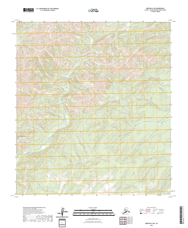
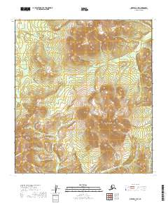
2024 Map of Medfra B-3 NE
USGS Topo · Published 2024About this map
Kuskokwim Mountains topography dominates this interior Alaskan landscape within the Yukon-Koyukuk region. This 2024 survey details a high-elevation wilderness defined by a complex drainage system where several primary watercourses originate. Soda Creek and Beaver Creek carve through the central ridges, while Whirlwind Creek and Wolverine Creek drain the northern and southern reaches of the quadrangle respectively. The map reveals the intricate natural contours of the land, showcasing the ridgelines and valleys that characterize this portion of the interior. With no marked roads or settlements, the map serves as a primary record of the hydrographic network and terrain relief for this specific area of the Kuskokwim Mountains.
Find a feature on this map
9 named features on this map. Tap any name to fly to it.
Don’t see what you’re looking for? This feature index may not catch every label — zoom into the map to look around manually.
Map Details
Editions of this 2024 Medfra B-3 NE Map
This is the sole edition of this map. No revisions or reprints were ever made.
Other maps of this area

1950 · Medfra
USGS Topo · 1:250,000

1954 · Medfra C-3
USGS Topo · 1:63,360

1955 · Medfra B-3
USGS Topo · 1:63,360

1958 · Medfra C-2
USGS Topo · 1:63,360

1958 · Medfra B-2
USGS Topo · 1:63,360

1959 · Medfra
USGS Topo · 1:250,000
2019 · Medfra B-3 NE
USGS Topo · 1:25,000
2019 · Medfra B-2 SW
USGS Topo · 1:25,000
2019 · Medfra B-3 SW
USGS Topo · 1:25,000
2019 · Medfra C-3 SW
USGS Topo · 1:25,000