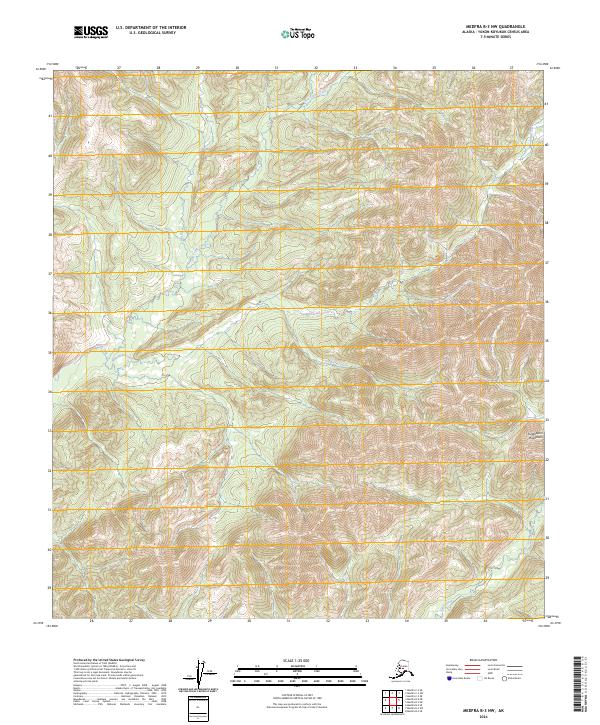
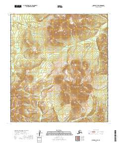
2024 Map of Medfra B-3 NW
USGS Topo · Published 2024About this map
Kuskokwim Mountains terrain dominates this remote section of the Yukon-Koyukuk Census Area, where a complex network of waterways carves through the interior Alaskan wilderness. The Nixon Fork serves as a primary drainage for several prominent streams, including the meandering Whirlwind Creek and the southern reaches of Von Frank Creek. This 2024 survey reflects the modern topographical state of a landscape defined by sharp elevation changes and high ridges, notably those feeding into Flat Creek and Canyon Creek. The absence of developed roads or settlements highlights the isolation of this region, which is organized by the Public Land Survey System into townships like t24s r23e. Genealogists and historians tracking early 20th-century exploration or mining in the Medfra district will find these specific creek alignments and mountain formations essential for locating historical activity sites.
Find a feature on this map
11 named features on this map. Tap any name to fly to it.
Don’t see what you’re looking for? This feature index may not catch every label — zoom into the map to look around manually.
Map Details
Editions of this 2024 Medfra B-3 NW Map
This is the sole edition of this map. No revisions or reprints were ever made.
Other maps of this area

1950 · Medfra
USGS Topo · 1:250,000

1953 · Medfra B-4
USGS Topo · 1:63,360

1953 · Medfra C-4
USGS Topo · 1:63,360

1954 · Medfra C-3
USGS Topo · 1:63,360

1955 · Medfra B-3
USGS Topo · 1:63,360

1959 · Medfra
USGS Topo · 1:250,000
2019 · Medfra B-3 NE
USGS Topo · 1:25,000
2019 · Medfra C-4 SE
USGS Topo · 1:25,000
2019 · Medfra B-3 SW
USGS Topo · 1:25,000
2019 · Medfra C-3 SW
USGS Topo · 1:25,000