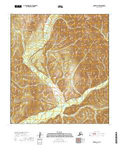
2019 Map of Medfra B-4 NE
USGS Topo · Published 2019About this map
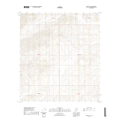
The Mystery Mountains dominate the northeastern reaches of this interior Alaskan landscape, providing a sharp contrast to the wandering drainage of the Nixon Fork below. This 2019 survey documents a wilderness where water and topography define the only visible structure. The terrain transitions from the high elevations of the Kuskokwim Mountains in the southwest toward the lower basins where Cottonwood Cr flows. Without any roads, settlements, or structures recorded, the map reflects a remote environment shaped entirely by natural features. Researchers can examine the precise contouring of these distinct mountain ranges and the hydraulic patterns of the river systems that have carved through the central Yukon-Koyukuk region.
Find a feature on this map
10 named features on this map. Tap any name to fly to it.
Don’t see what you’re looking for? This feature index may not catch every label — zoom into the map to look around manually.
Map Details
Editions of this 2019 Medfra B-4 NE Map
This is the sole edition of this map. No revisions or reprints were ever made.
Other maps of this area

1950 · Medfra
USGS Topo · 1:250,000

1953 · Medfra B-4
USGS Topo · 1:63,360

1953 · Medfra C-4
USGS Topo · 1:63,360

1954 · Medfra C-3
USGS Topo · 1:63,360

1955 · Medfra B-3
USGS Topo · 1:63,360

1959 · Medfra
USGS Topo · 1:250,000
2019 · Medfra B-4 NW
USGS Topo · 1:25,000
2019 · Medfra C-4 SE
USGS Topo · 1:25,000
2019 · Medfra B-4 SW
USGS Topo · 1:25,000
2019 · Medfra B-3 SW
USGS Topo · 1:25,000