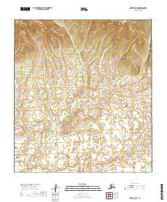
2019 Map of Medfra B-5 SE
USGS Topo · Published 2019About this map
The sinuous course of Washington Cr defines the interior of this landscape within the Yukon-Koyukuk Census Area. This 2019 survey documents a largely undeveloped wilderness characterized by intricate wetland patterns and shifting elevations. The drainage network of Washington Cr meanders through the central and eastern sections of the quadrangle, illustrating the natural watercourses that remain undisturbed by modern infrastructure or permanent settlements. The map highlights the vast Public Land Survey System grids, including t25s r19e and t26s r20e, providing a precise record of township and range boundaries for this remote portion of Alaska. Researchers interested in northern hydrology can trace the creek's relationship to the surrounding marshlands and unpaved terrain.
Find a feature on this map
7 named features on this map. Tap any name to fly to it.
Don’t see what you’re looking for? This feature index may not catch every label — zoom into the map to look around manually.
Map Details
Editions of this 2019 Medfra B-5 SE Map
This is the sole edition of this map. No revisions or reprints were ever made.
Other maps of this area

1950 · Medfra
USGS Topo · 1:250,000

1953 · Medfra B-4
USGS Topo · 1:63,360

1953 · Medfra B-5
USGS Topo · 1:63,360

1954 · Medfra A-5
USGS Topo · 1:63,360
1959 · Medfra A-4
USGS Topo · 1:63,360

1959 · Medfra
USGS Topo · 1:250,000
2019 · Medfra B-4 NW
USGS Topo · 1:25,000
2019 · Medfra B-5 NW
USGS Topo · 1:25,000
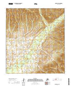
2019 · Medfra B-4 SW
USGS Topo · 1:25,000
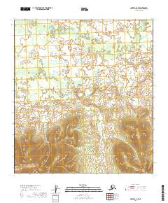
2019 · Medfra A-5 NE
USGS Topo · 1:25,000