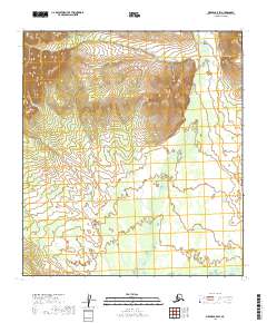
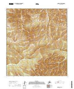
2019 Map of Medfra B-5 SW
USGS Topo · Published 2019About this map
The W Fork Nixon Fork meanders through this section of the Yukon-Koyukuk Census Area, illustrating the complex drainage patterns characteristic of the Alaska interior. This landscape is defined by the shifting waters of the Nixon Fork and its tributaries as they weave through a region dominated by township and range divisions including t24s r18e and t25s r18e. The map provides a detailed view of the natural topography where the water systems dictate the shape of the land. In this remote stretch, the lack of named settlements or infrastructure highlights the purely wilderness character of the terrain, making it a primary source for understanding the pristine hydrography of the region before or apart from modern development.
Find a feature on this map
9 named features on this map. Tap any name to fly to it.
Don’t see what you’re looking for? This feature index may not catch every label — zoom into the map to look around manually.
Map Details
Editions of this 2019 Medfra B-5 SW Map
This is the sole edition of this map. No revisions or reprints were ever made.
Other maps of this area

1950 · Medfra
USGS Topo · 1:250,000

1953 · Medfra B-5
USGS Topo · 1:63,360

1954 · Medfra A-6
USGS Topo · 1:63,360

1954 · Medfra A-5
USGS Topo · 1:63,360

1954 · Medfra B-6
USGS Topo · 1:63,360

1959 · Medfra
USGS Topo · 1:250,000
2019 · Medfra A-6 NE
USGS Topo · 1:25,000
2019 · Medfra B-5 NW
USGS Topo · 1:25,000
2019 · Medfra A-5 NE
USGS Topo · 1:25,000
2019 · Medfra B-6 NE
USGS Topo · 1:25,000