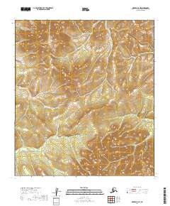
2019 Map of Medfra B-6 NE
USGS Topo · Published 2019About this map
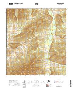
Susulatna Hills dominate the central topography of this Interior Alaska landscape, rising as a prominent upland between the drainage basins of the Kuskokwim and Yukon systems. The map depicts a wilderness environment defined by the winding course of the Susulatna River, which meanders through the western half of the quadrangle. In the eastern reaches, the W Fork Nixon Fork carves through the undulating terrain, indicating the complex hydrology of the region. This 2019 survey, produced by the U.S. Geological Survey, illustrates a landscape devoid of permanent modern settlements or road infrastructure, highlighting the remote character of the Yukon-Koyukuk Census Area. The grid of township and range lines, such as t23s r16e and t24s r17e, provides the only formal human structure over the natural relief of the hills and river valleys.
Find a feature on this map
7 named features on this map. Tap any name to fly to it.
Don’t see what you’re looking for? This feature index may not catch every label — zoom into the map to look around manually.
Map Details
Editions of this 2019 Medfra B-6 NE Map
This is the sole edition of this map. No revisions or reprints were ever made.
Other maps of this area

1950 · Medfra
USGS Topo · 1:250,000

1953 · Medfra B-5
USGS Topo · 1:63,360

1954 · Medfra C-6
USGS Topo · 1:63,360

1954 · Medfra C-5
USGS Topo · 1:63,360

1954 · Medfra B-6
USGS Topo · 1:63,360

1959 · Medfra
USGS Topo · 1:250,000
2019 · Medfra C-6 SW
USGS Topo · 1:25,000
2019 · Medfra C-6 SE
USGS Topo · 1:25,000
2019 · Medfra B-5 NW
USGS Topo · 1:25,000
2019 · Medfra B-6 NW
USGS Topo · 1:25,000