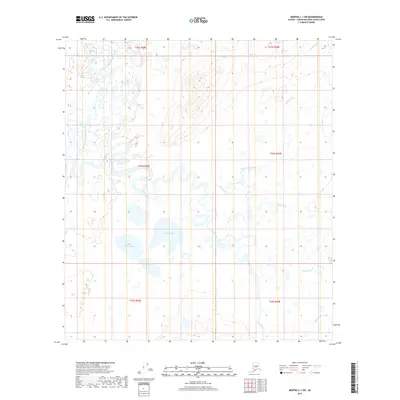
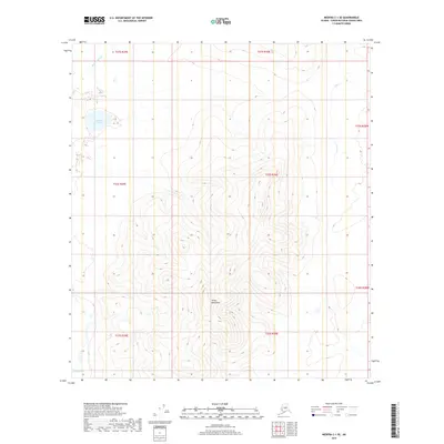
2019 Map of Medfra C-1 SW
USGS Topo · Published 2019About this map
The North Fork Kuskokwim River and the Swift Fork dominate this interior Alaskan landscape, defining a complex system of active waterways and historical channels. This survey reveals a terrain defined by fluvial processes, where the meandering Red Slough and Medicineman Creek snake across the lowland flats. The presence of numerous standing water bodies, including the Bellen Lakes and Spruce Lake, indicates a poorly drained basin where seasonal flooding and thermokarst activity likely shape the surface.
Find a feature on this map
13 named features on this map. Tap any name to fly to it.
Don’t see what you’re looking for? This feature index may not catch every label — zoom into the map to look around manually.
Map Details
Editions of this 2019 Medfra C-1 SW Map
This is the sole edition of this map. No revisions or reprints were ever made.
Other maps of this area

1950 · Medfra
USGS Topo · 1:250,000

1958 · Medfra C-2
USGS Topo · 1:63,360

1958 · Medfra B-2
USGS Topo · 1:63,360

1958 · Medfra C-1
USGS Topo · 1:63,360

1958 · Medfra B-1
USGS Topo · 1:63,360

1959 · Medfra
USGS Topo · 1:250,000
2019 · Medfra C-2 NE
USGS Topo · 1:25,000
2019 · Medfra C-2 SE
USGS Topo · 1:25,000
2019 · Medfra B-1 NW
USGS Topo · 1:25,000
2019 · Medfra C-1 SE
USGS Topo · 1:25,000