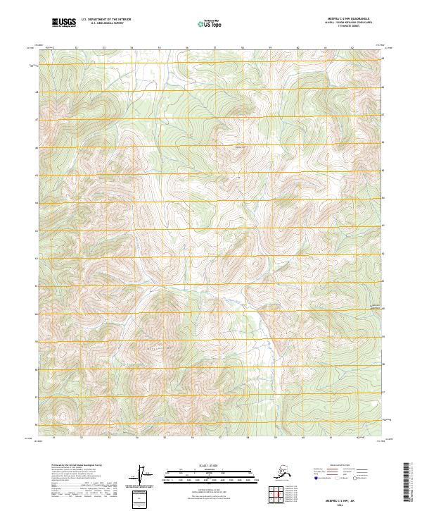
2024 Map of Medfra C-2 NW
USGS Topo · Published 2024About this map
Kuskokwim Mountains terrain dominates this remote interior landscape, where the peaks of Stone Mtn and Attonock Mt anchor the high ground. The drainage patterns revealed here show a complex network of alpine headwaters, primarily defined by the south-flowing Stone Creek and the meandering Figure Creek. These watercourses carve through the upland sections of t21s r26e and surrounding survey townships, illustrating the high-relief topography of the Yukon-Koyukuk region. In the southern reaches of the quadrangle, Hardscrabble Creek cuts across the lower slopes, while Pass Creek marks a distinct corridor in the northern heights. The absence of roads or permanent settlements underscores the wilderness character of the interior at the time of this survey, leaving the natural landmarks and water systems as the primary navigational features.
Find a feature on this map
11 named features on this map. Tap any name to fly to it.
Don’t see what you’re looking for? This feature index may not catch every label — zoom into the map to look around manually.
Map Details
Editions of this 2024 Medfra C-2 NW Map
This is the sole edition of this map. No revisions or reprints were ever made.
Other maps of this area

1950 · Medfra
USGS Topo · 1:250,000
1954 · Medfra D-3
USGS Topo · 1:63,360

1954 · Medfra C-3
USGS Topo · 1:63,360

1958 · Medfra D-2
USGS Topo · 1:63,360

1958 · Medfra C-2
USGS Topo · 1:63,360

1959 · Medfra
USGS Topo · 1:250,000
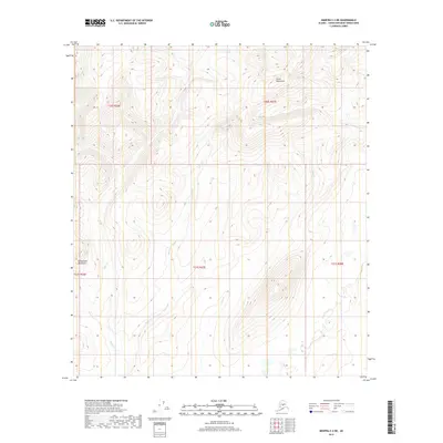
2019 · Medfra C-2 NE
USGS Topo · 1:25,000
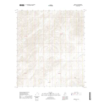
2019 · Medfra D-2 SE
USGS Topo · 1:25,000
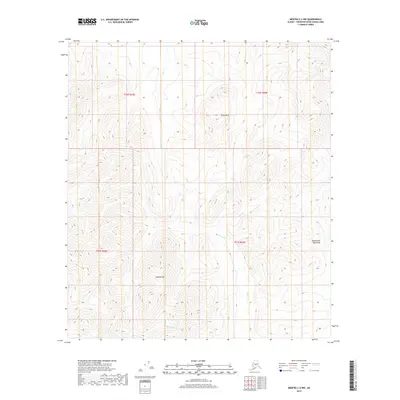
2019 · Medfra C-2 NW
USGS Topo · 1:25,000
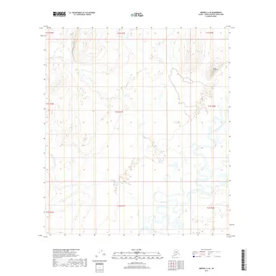
2019 · Medfra C-2 SE
USGS Topo · 1:25,000