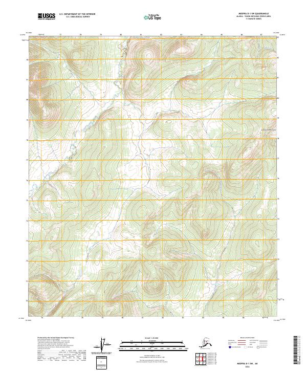
2024 Map of Medfra D-1 SW
USGS Topo · Published 2024About this map
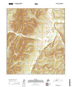
Sethkokna River meanders through the western reaches of this landscape in the Yukon-Koyukuk region, defining a broad valley floor amidst the rising slopes of the Kuskokwim Mountains. The terrain is characterized by intricate drainage patterns, with Shellman Creek flowing southward through the central valleys and Lind Creek appearing in the northeastern corner. This 2024 representation of the interior illustrates the complex topography of the Alaska wilderness before human infrastructure, focusing on the natural contours and watercourses that have shaped the region's geography for generations. The lack of roads or named settlements emphasizes the character of the terrain as a remote part of the Alaska-Yukon-Koyukuk Census Area, where the river systems remain the primary geographic landmarks.
Find a feature on this map
10 named features on this map. Tap any name to fly to it.
Don’t see what you’re looking for? This feature index may not catch every label — zoom into the map to look around manually.
Map Details
Editions of this 2024 Medfra D-1 SW Map
This is the sole edition of this map. No revisions or reprints were ever made.
Other maps of this area

1950 · Medfra
USGS Topo · 1:250,000

1958 · Medfra D-2
USGS Topo · 1:63,360

1958 · Medfra C-2
USGS Topo · 1:63,360

1958 · Medfra C-1
USGS Topo · 1:63,360

1958 · Medfra D-1
USGS Topo · 1:63,360

1959 · Medfra
USGS Topo · 1:250,000
2019 · Medfra C-2 NE
USGS Topo · 1:25,000
2019 · Medfra D-2 SE
USGS Topo · 1:25,000
2019 · Medfra D-2 NE
USGS Topo · 1:25,000
2019 · Medfra D-1 NW
USGS Topo · 1:25,000