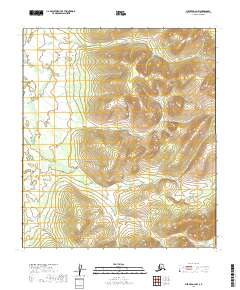
2019 Map of Medfra D-2 NW
USGS Topo · Published 2019About this map
Uninhabited interior terrain within the Yukon-Koyukuk Census Area defines this landscape, which is largely devoid of formal settlements or infrastructure. The topography is dominated by high-elevation ridges and deep valleys, organized by the Public Land Survey System grids of T17s R25e, T18s R25e, and T19s R25e. The absence of named geographic landmarks, roads, or man-made structures on this 2019 survey reflects a wilderness character where only the survey boundaries and the natural contour of the land provide orientation. This map is primarily an exercise in geometric division and relief, serving as a baseline for understanding the undeveloped reaches of the Alaskan interior in the early twenty-first century.
Find a feature on this map
6 named features on this map. Tap any name to fly to it.
Don’t see what you’re looking for? This feature index may not catch every label — zoom into the map to look around manually.
Map Details
Editions of this 2019 Medfra D-2 NW Map
This is the sole edition of this map. No revisions or reprints were ever made.
Other maps of this area

1950 · Medfra
USGS Topo · 1:250,000

1951 · Ruby
USGS Topo · 1:250,000

1952 · Ruby A-2
USGS Topo · 1:63,360

1952 · Ruby A-3
USGS Topo · 1:63,360

1952 · Ruby
USGS Topo · 1:250,000
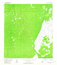
1954 · Medfra D-3
USGS Topo · 1:63,360

1958 · Medfra D-2
USGS Topo · 1:63,360

1959 · Medfra
USGS Topo · 1:250,000

1964 · Ruby
USGS Topo · 1:250,000
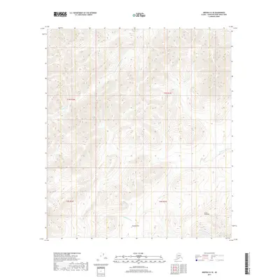
2019 · Medfra D-2 SE
USGS Topo · 1:25,000