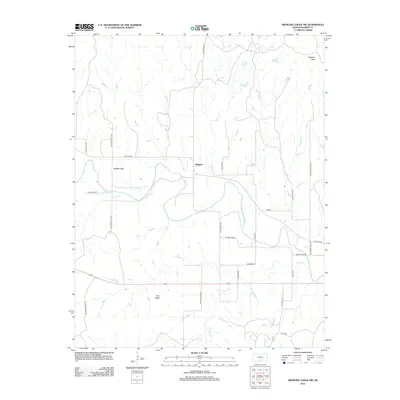
2012 Map of Medicine Lodge SW
USGS Topo · Published 2012About this map
The Medicine Lodge River meanders across this Barber County landscape, carving through the red soils and distinctive topography of the Gypsum Hills. This section of south-central Kansas is defined by its wide river valley and the scattered remnants of rural community life at Mingona and Forest City. The terrain is punctuated by notable landmarks like the Twin Peaks, while a network of rural routes such as NW River Rd and Gyp Hill Rd connects the isolated ranchlands and farmsteads.
Find a feature on this map
26 named features on this map. Tap any name to fly to it.
Don’t see what you’re looking for? This feature index may not catch every label — zoom into the map to look around manually.
Map Details
Editions of this 2012 Medicine Lodge SW Map
This is the sole edition of this map. No revisions or reprints were ever made.
Other maps of this area

1891 · Medicine Lodge
USGS Topo · 1:125,000

1893 · Medicine Lodge
USGS Topo · 1:125,000

1955 · Pratt
USGS Topo · 1:250,000

1959 · Pratt
USGS Topo · 1:250,000

1973 · Hardtner NW
USGS Topo · 1:24,000
1973 · Sun City NE
USGS Topo · 1:24,000
1973 · Isabel
USGS Topo · 1:24,000
1973 · Pump Creek
USGS Topo · 1:24,000
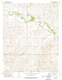
1973 · Lake City
USGS Topo · 1:24,000
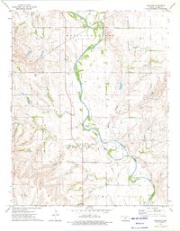
1973 · Gerlane
USGS Topo · 1:24,000