
1961 Map of Medon
USGS Topo · Published 1964About this map
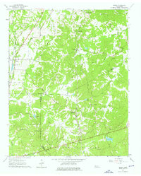
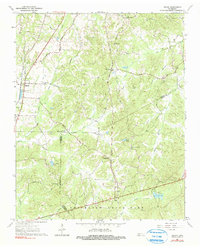
Medon and Deanburg anchor this West Tennessee landscape in the early 1960s, a region defined by the convergence of Madison, Chester, and Hardeman counties. The transportation network is built upon the competing routes of the Illinois Central and Mobile and Ohio railroads, which parallel drainage systems like Sandy Creek and Clover Creek. A high density of rural institutions suggests a deeply rooted community, including the Rosenwald Sch and numerous country churches such as Clover Creek Ch and Pleasant Springs Ch.
Find a feature on this map
45 named features on this map. Tap any name to fly to it.
Don’t see what you’re looking for? This feature index may not catch every label — zoom into the map to look around manually.
Map Details
Editions of this 1961 Medon Map
3 editions found
Other maps of this area

1950 · Jackson South
USGS Topo · 1:24,000

1953 · Beech Bluff
USGS Topo · 1:24,000

1956 · Blytheville
USGS Topo · 1:250,000

1959 · Blytheville
USGS Topo · 1:250,000

1959 · Westover
USGS Topo · 1:24,000
1961 · Silerton
USGS Topo · 1:24,000
1961 · Bolivar East
USGS Topo · 1:24,000
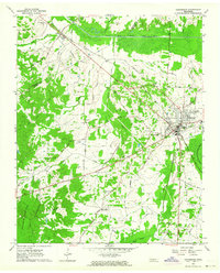
1961 · Henderson
USGS Topo · 1:24,000
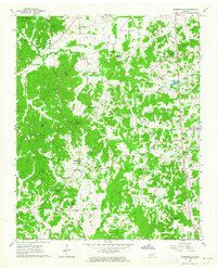
1961 · Masseyville
USGS Topo · 1:24,000
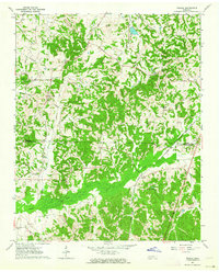
1961 · Teague
USGS Topo · 1:24,000