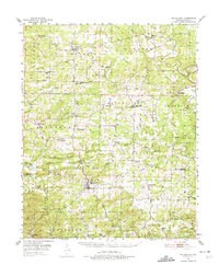
1951 Map of Melbourne
USGS Topo · Published 1975About this map
The rolling Arkansas uplands of Izard County are meticulously documented in this mid-century survey, centered on the county seat of Melbourne. The landscape is defined by the winding course of the Strawberry River to the north and numerous creek systems like Mill Creek and Rocky Bayou to the south. Small rural communities and townships such as Violet Hill, Oxford, and La Crosse serve as local hubs, connected by a network of winding roads.
Find a feature on this map
80 named features on this map. Tap any name to fly to it.
Don’t see what you’re looking for? This feature index may not catch every label — zoom into the map to look around manually.
Map Details
Editions of this 1951 Melbourne Map
2 editions found

Other maps of this area

1890 · Batesville
USGS Topo · 1:125,000

1890 · Mountain Home
USGS Topo · 1:125,000

1891 · Mountain Home
USGS Topo · 1:125,000

1891 · Batesville
USGS Topo · 1:125,000

1892 · Mountain View
USGS Topo · 1:125,000

1894 · Mountain View
USGS Topo · 1:125,000

1894 · Mountain Home
USGS Topo · 1:125,000

1942 · Mt Pleasant
USGS Topo · 1:31,680

1943 · Sandtown
USGS Topo · 1:24,000

1945 · Harrison
USGS Topo · 1:250,000