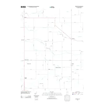
2013 Map of Mellott
USGS Topo · Published 2013About this map
Mellott and Newtown anchor this agricultural landscape in eastern Fountain County, where a network of rural roads connects several small settlements and named corners. The terrain is defined by a dendritic drainage system including Big Shawnee Cr, Little Shawnee Cr, and the winding path of Turkey Run. This 2013 survey illustrates the persistence of early Indiana settlement patterns, featuring historic localities like Rob Roy and Aylesworth along the western edge. Notable landmarks such as Harrison Lake and the interestingly named Stephens Crossing provide specific points of interest for local historians. The map documents the continued importance of water management in the region, visible through features like Kell Ditch and the various forks of Coal Cr that navigate the gently undulating farmland between Graham and Simpson Corner.
Find a feature on this map
80 named features on this map. Tap any name to fly to it.
Don’t see what you’re looking for? This feature index may not catch every label — zoom into the map to look around manually.
Map Details
Editions of this 2013 Mellott Map
This is the sole edition of this map. No revisions or reprints were ever made.
Other maps of this area

1953 · Danville
USGS Topo · 1:250,000

1955 · Danville
USGS Topo · 1:250,000

1956 · Danville
USGS Topo · 1:250,000

1958 · Stonebluff
USGS Topo · 1:24,000
1958 · Veedersburg
USGS Topo · 1:24,000

1962 · Williamsport
USGS Topo · 1:24,000
1962 · Waynetown
USGS Topo · 1:24,000
1962 · Mellott
USGS Topo · 1:24,000
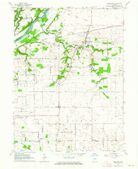
1962 · Westpoint
USGS Topo · 1:24,000
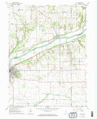
1962 · Attica
USGS Topo · 1:24,000