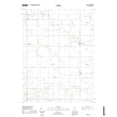
2019 Map of Mellott
USGS Topo · Published 2019About this map
Mellott and Newtown anchor this section of Fountain County, where the landscape is defined by the winding paths of Big Shawnee Creek and Coal Creek. The map documents a traditional agricultural layout, with several small settlements such as Rob Roy and Aylesworth situated among a network of rural roads like Covered Bridge Rd. Genealogists will find significant value in the distribution of family and community burial grounds, including the Old Baptist Cem, Beulah Cem, and Hodson Cem. Drainage patterns are meticulously detailed through features like Kell Ditch, Turkey Run, and North Fork Coal Creek, illustrating the intersection of natural hydrology and local land use. The presence of Campbell Field and various rural junctions provides a clear view of the area's twentieth-century development and enduring rural character.
Find a feature on this map
84 named features on this map. Tap any name to fly to it.
Don’t see what you’re looking for? This feature index may not catch every label — zoom into the map to look around manually.
Map Details
Editions of this 2019 Mellott Map
This is the sole edition of this map. No revisions or reprints were ever made.
Other maps of this area

1953 · Danville
USGS Topo · 1:250,000

1955 · Danville
USGS Topo · 1:250,000

1956 · Danville
USGS Topo · 1:250,000

1958 · Stonebluff
USGS Topo · 1:24,000
1958 · Veedersburg
USGS Topo · 1:24,000

1962 · Williamsport
USGS Topo · 1:24,000
1962 · Waynetown
USGS Topo · 1:24,000
1962 · Mellott
USGS Topo · 1:24,000
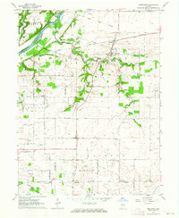
1962 · Westpoint
USGS Topo · 1:24,000
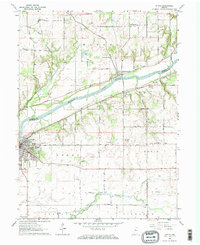
1962 · Attica
USGS Topo · 1:24,000