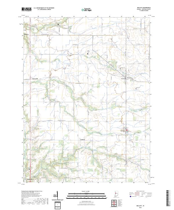
2022 Map of Mellott
USGS Topo · Published 2022About this map
Big Shawnee Creek and its southern branch, Little Shawnee Creek, carve a branching drainage system through the agricultural landscape of Fountain County. This topography is dotted with small, historic communities such as Newtown and Mellott, where the grid of rural roads meets older village layouts. For family historians, the presence of several established burial grounds including Beulah Cemetery, Old Baptist Cemetery, and Hodson Cemetery provides critical focal points for tracing local lineages and the early settlement patterns of the region.
Find a feature on this map
88 named features on this map. Tap any name to fly to it.
Don’t see what you’re looking for? This feature index may not catch every label — zoom into the map to look around manually.
Map Details
Editions of this 2022 Mellott Map
This is the sole edition of this map. No revisions or reprints were ever made.
Other maps of this area

1953 · Danville
USGS Topo · 1:250,000

1955 · Danville
USGS Topo · 1:250,000

1956 · Danville
USGS Topo · 1:250,000

1958 · Stonebluff
USGS Topo · 1:24,000
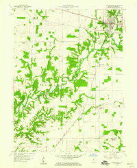
1958 · Veedersburg
USGS Topo · 1:24,000

1962 · Williamsport
USGS Topo · 1:24,000
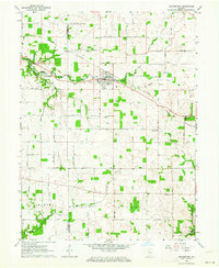
1962 · Waynetown
USGS Topo · 1:24,000
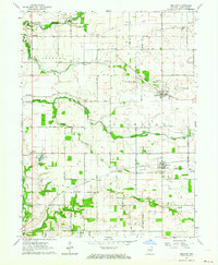
1962 · Mellott
USGS Topo · 1:24,000
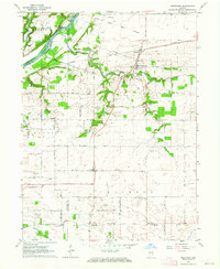
1962 · Westpoint
USGS Topo · 1:24,000
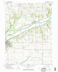
1962 · Attica
USGS Topo · 1:24,000