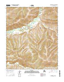
2016 Map of Melozitna B-1 NW
USGS Topo · Published 2016About this map
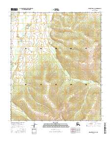
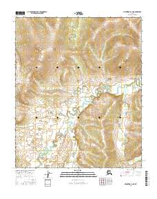
Little Melozitna Hot Springs stands as the central landmark of this Interior Alaska landscape, located along a meandering waterway in the northern portion of the quadrangle. The terrain is defined by the complex relief of the Melozitna River drainage system, where the land transitions through the township boundaries of t1n r26e, t1n r27e, t1s r26e, and t1s r27e. This 2016 survey, based on imagery from the late 2000s and early 2010s, records a remote wilderness area where the natural geothermal activity at the hot springs remains the primary named destination. The lack of road infrastructure and human settlements on the map underscores the isolation of this portion of the Yukon-Koyukuk region, making it a valuable reference for understanding the unmodified state of the Alaskan interior in the early twenty-first century.
Find a feature on this map
5 named features on this map. Tap any name to fly to it.
Don’t see what you’re looking for? This feature index may not catch every label — zoom into the map to look around manually.
Map Details
Editions of this 2016 Melozitna B-1 NW Map
This is the sole edition of this map. No revisions or reprints were ever made.
Other maps of this area

1951 · Melozitna
USGS Topo · 1:250,000

1956 · Melozitna B-2
USGS Topo · 1:63,360

1956 · Melozitna C-1
USGS Topo · 1:63,360

1956 · Melozitna B-1
USGS Topo · 1:63,360
1956 · Melozitna C-2
USGS Topo · 1:63,360

1956 · Melozitna
USGS Topo · 1:250,000
2016 · Melozitna C-1 SW
USGS Topo · 1:25,000
2016 · Melozitna C-1 SE
USGS Topo · 1:25,000
2016 · Melozitna B-2 SE
USGS Topo · 1:25,000
2016 · Melozitna B-2 NE
USGS Topo · 1:25,000