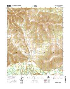
2016 Map of Melozitna C-1 NW
USGS Topo · Published 2016About this map
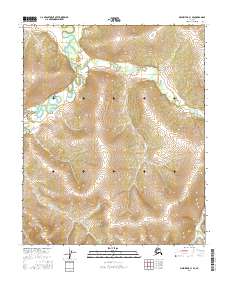
Low-lying wetlands and meandering drainage patterns define this interior Alaska landscape within the Yukon-Koyukuk region. This 2016 survey provides a precise look at the Public Land Survey System boundaries, including the intersection of T4n R26e, T4n R27e, T3n R26e, and T3n R27e. The map illustrates the complex hydrography of the Alaskan wilderness, where unnamed streams and marshy pockets dominate the terrain between subtly rising hills. These topographical details, compiled from imagery dating back to 2009, reflect the undisturbed character of the Melozitna area, serving as a primary reference for the land divisions and natural water systems of the mid-2010s.
Find a feature on this map
4 named features on this map. Tap any name to fly to it.
Don’t see what you’re looking for? This feature index may not catch every label — zoom into the map to look around manually.
Map Details
Editions of this 2016 Melozitna C-1 NW Map
This is the sole edition of this map. No revisions or reprints were ever made.
Other maps of this area

1951 · Melozitna
USGS Topo · 1:250,000

1952 · Melozitna D-1
USGS Topo · 1:63,360

1955 · Melozitna D-2
USGS Topo · 1:63,360

1956 · Melozitna C-1
USGS Topo · 1:63,360
1956 · Melozitna C-2
USGS Topo · 1:63,360

1956 · Melozitna
USGS Topo · 1:250,000
2016 · Melozitna C-1 NE
USGS Topo · 1:25,000
2016 · Melozitna C-1 SW
USGS Topo · 1:25,000
2016 · Melozitna C-1 SE
USGS Topo · 1:25,000
2016 · Melozitna D-1 SW
USGS Topo · 1:25,000