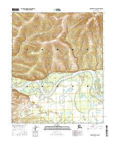
2016 Map of Melozitna D-4 SW
USGS Topo · Published 2016About this map
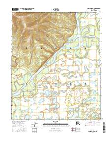
The Koyukuk River dominates the central landscape of this interior Alaskan territory, winding between the northern uplands and a low-lying southern floodplain. The river's path is marked by significant silt and sediment features, including the Florence Islands and Fry Island, which demonstrate the shifting nature of the waterway. To the north, the elevation rises toward the peak of Sun Mtn, where smaller tributaries like Willow Cr drain southward toward the main channel. South of the river, the terrain flattens into a complex network of wetlands and seasonal waterways, including the meandering Fortymile Slough and Grikhdalitna Creek. The drainage patterns of Glacier Cr further illustrate the hydraulic connectivity of this remote subarctic environment, where the landscape is defined by the seasonal flow of water across a largely unsettled wilderness.
Find a feature on this map
14 named features on this map. Tap any name to fly to it.
Don’t see what you’re looking for? This feature index may not catch every label — zoom into the map to look around manually.
Map Details
Editions of this 2016 Melozitna D-4 SW Map
This is the sole edition of this map. No revisions or reprints were ever made.
Other maps of this area

1951 · Melozitna
USGS Topo · 1:250,000

1954 · Melozitna C-4
USGS Topo · 1:63,360

1954 · Melozitna C-5
USGS Topo · 1:63,360

1954 · Melozitna D-5
USGS Topo · 1:63,360

1954 · Melozitna D-4
USGS Topo · 1:63,360

1956 · Melozitna
USGS Topo · 1:250,000
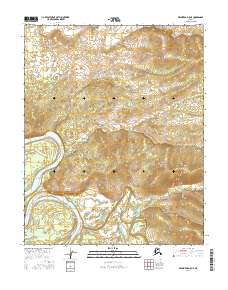
2016 · Melozitna D-5 NE
USGS Topo · 1:25,000
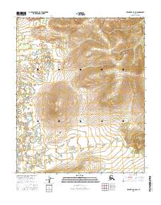
2016 · Melozitna C-5 NE
USGS Topo · 1:25,000
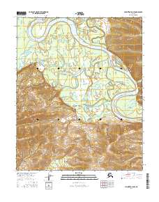
2016 · Melozitna D-5 SE
USGS Topo · 1:25,000
2016 · Melozitna D-4 SE
USGS Topo · 1:25,000