
1961 Map of Melrose
USGS Topo · Published 1964About this map
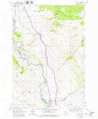
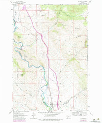
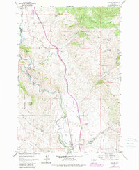
The Melrose settlement serves as the central hub for this early 1960s survey, situated along a busy stretch of the Union Pacific railroad and the Big Hole River. This landscape is defined by its complex irrigation network, featuring the McCauley Ditch, Pendergast Ditch, and Braugh DITCH, which diverted water from the river to support local ranching and agriculture. The surrounding mountains are marked by a legacy of extraction, visible through numerous mines and named sites like the Old Glory Mine and Berlin Mine.
Find a feature on this map
41 named features on this map. Tap any name to fly to it.
Don’t see what you’re looking for? This feature index may not catch every label — zoom into the map to look around manually.
Map Details
Editions of this 1961 Melrose Map
4 editions found
Other maps of this area

1893 · Dillon
USGS Topo · 1:250,000

1955 · Dillon
USGS Topo · 1:250,000

1957 · Dillon
USGS Topo · 1:250,000

1958 · Dillon
USGS Topo · 1:250,000

1958 · Vipond Park
USGS Topo · 1:62,500

1961 · Earls Gulch
USGS Topo · 1:24,000

1961 · Wickiup Creek
USGS Topo · 1:24,000

1961 · Nez Perce Hollow
USGS Topo · 1:24,000

1961 · Butte South
USGS Topo · 1:62,500

1961 · Dewey
USGS Topo · 1:24,000