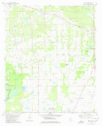
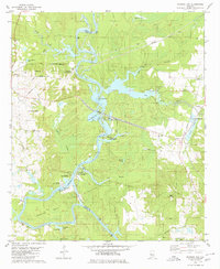
1980 Map of Melton
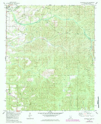
USGS Topo · Published 1980This historical map portrays the area of Melton in 1980, primarily covering Hale County as well as portions of Greene County. Featuring a scale of 1:24000, this map provides a highly detailed snapshot of the terrain, roads, buildings, counties, and historical landmarks in the Melton region at the time. Published in 1980, it is one of 2 known editions of this map due to revisions or reprints.
Find a feature on this map
44 named features on this map. Tap any name to fly to it.
Don’t see what you’re looking for? This feature index may not catch every label — zoom into the map to look around manually.
Map Details
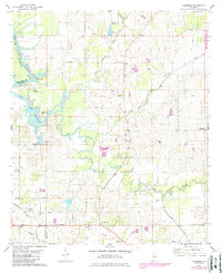
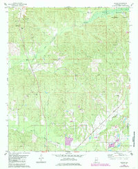
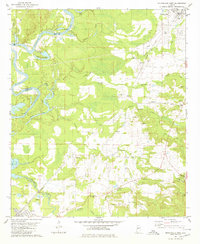
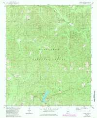
Editions of this 1980 Melton Map
2 editions found
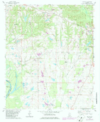
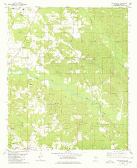
Historical Maps of Greene County Through Time
19 maps found
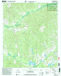
1980 Casemore
Hale County, AL
1980 Ingram
Hale County, AL
1980 Melton
Hale County, AL
1980 Moundville East
Hale County, AL
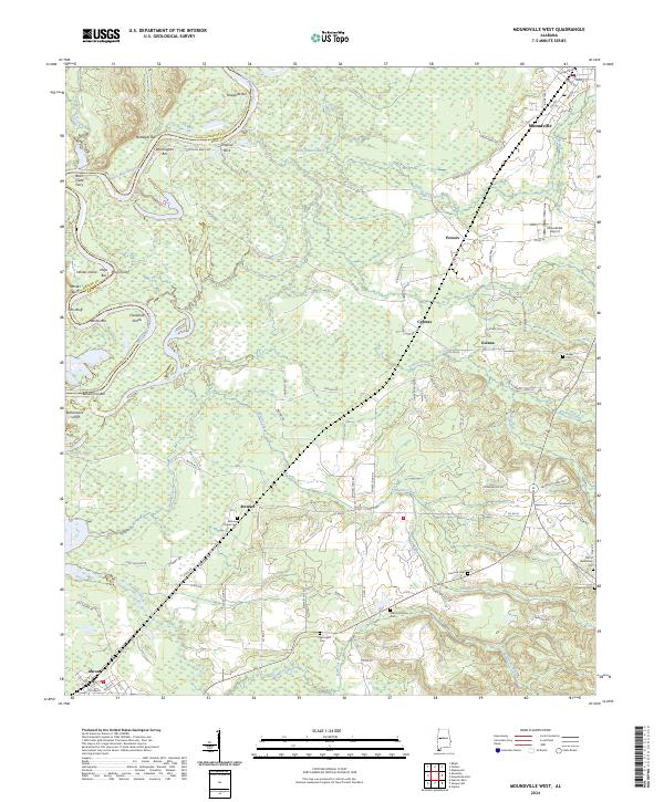
1980 Moundville West
Hale County, AL
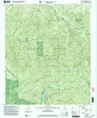
1980 Payne Lake
Hale County, AL
1980 Sawyerville
Hale County, AL
1980 Warrior Dam
Hale County, AL
2002 Ingram
Hale County, AL
2002 Moundville East
Hale County, AL
2002 Payne Lake
Hale County, AL
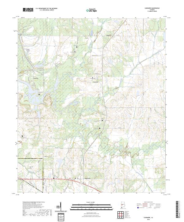
2024 Casemore
Hale County, AL
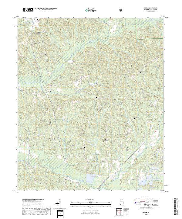
2024 Ingram
Hale County, AL
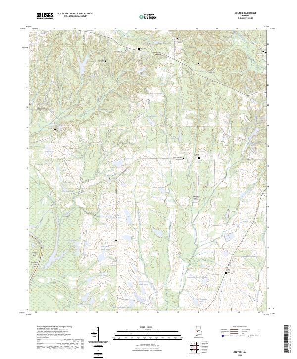
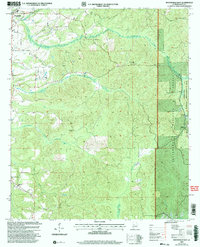
2024 Melton
Hale County, AL
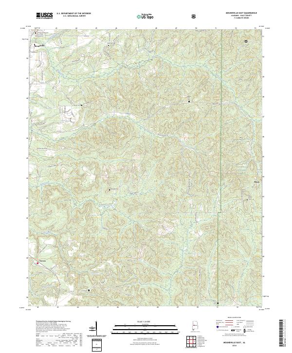
2024 Moundville East
Hale County, AL
2024 Moundville West
Hale County, AL
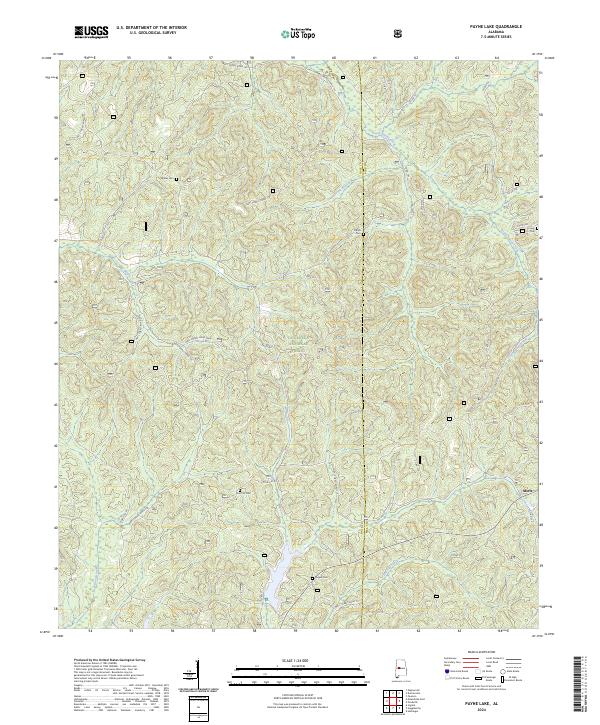
2024 Payne Lake
Hale County, AL
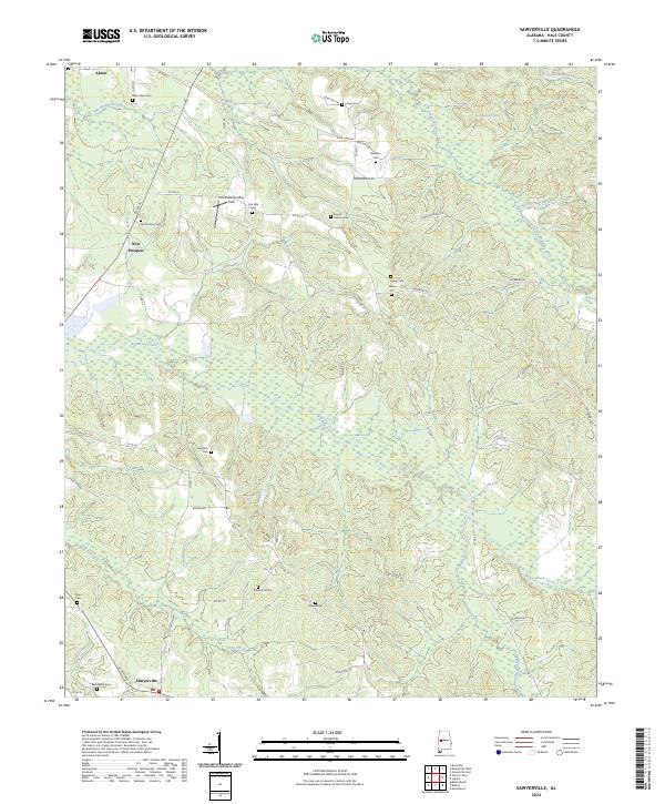
2024 Sawyerville
Hale County, AL
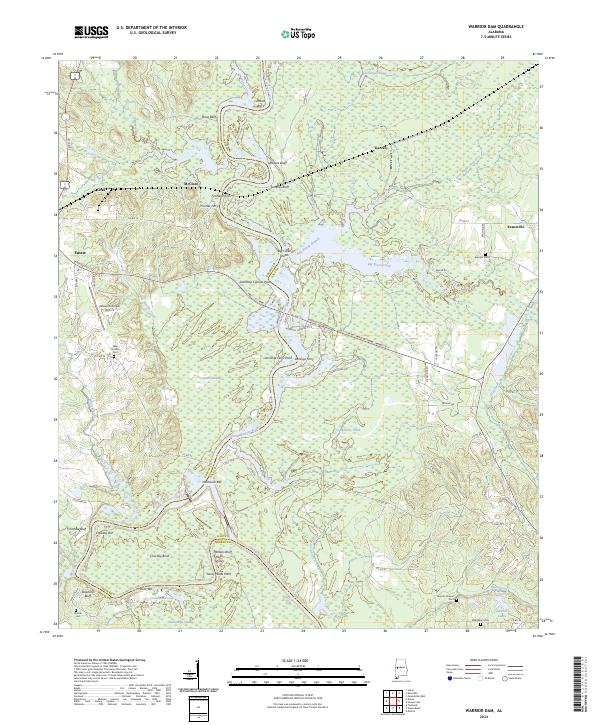
2024 Warrior Dam
Hale County, AL