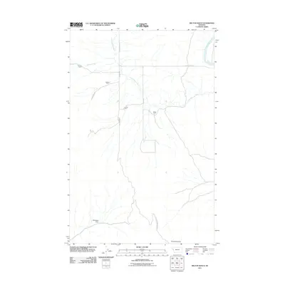
2011 Map of Melton Ranch
USGS Topo · Published 2011About this map
Melton Ranch and other family-held homesteads anchor this remote section of Lake County, where ranching life follows the natural irrigation of the Little Bitterroot River and its tributaries. The landscape is defined by the transition from the high point at Sonyok Mountain down through the dry drainage of Davenport Draw. Connectivity in this era is provided by primitive routes such as Whiskey Trl and Ferry Crossing Basin 3530, reflecting a geography where transportation is still dictated by the water courses. The presence of Anderson Ranch, Haynes Ranch, and Jennings Ranch illustrates a sparse but persistent settlement pattern oriented toward the fertile valley floor between Whiskey Creek and Pine Creek, just west of the Flathead River bend.
Find a feature on this map
15 named features on this map. Tap any name to fly to it.
Don’t see what you’re looking for? This feature index may not catch every label — zoom into the map to look around manually.
Map Details
Editions of this 2011 Melton Ranch Map
This is the sole edition of this map. No revisions or reprints were ever made.
Other maps of this area

1920 · Flathead Lake
USGS Topo · 1:125,000

1956 · Wallace
USGS Topo · 1:250,000

1959 · Perma
USGS Topo · 1:62,500

1960 · Wallace
USGS Topo · 1:250,000

1964 · Dixon
USGS Topo · 1:24,000

1964 · Mc Donald
USGS Topo · 1:24,000

1964 · Melton Ranch
USGS Topo · 1:24,000

1964 · Markle Pass
USGS Topo · 1:24,000

1965 · Sloan
USGS Topo · 1:24,000

1965 · Oliver Point
USGS Topo · 1:24,000