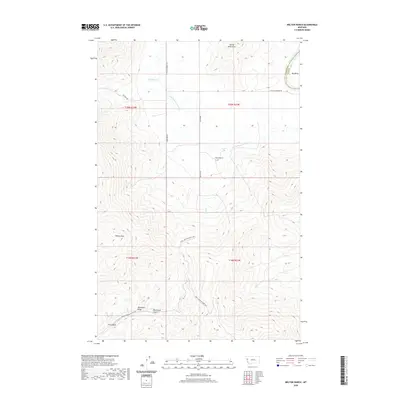
2020 Map of Melton Ranch
USGS Topo · Published 2020About this map
The Salish Mountains define the high ground of this Lake County landscape, where water courses like Whiskey Cr and Pine Cr descend toward larger valley drainage. The Little Bitterroot River meanders through the central terrain, while a small portion of the Flathead River appears at the northeastern corner near Big Bend. This area reflects a remote ranching and timber heritage, anchored by the Melton Ranch and connected by primitive routes such as Whiskey Trl.
Find a feature on this map
23 named features on this map. Tap any name to fly to it.
Don’t see what you’re looking for? This feature index may not catch every label — zoom into the map to look around manually.
Map Details
Editions of this 2020 Melton Ranch Map
This is the sole edition of this map. No revisions or reprints were ever made.
Other maps of this area

1920 · Flathead Lake
USGS Topo · 1:125,000

1956 · Wallace
USGS Topo · 1:250,000

1959 · Perma
USGS Topo · 1:62,500

1960 · Wallace
USGS Topo · 1:250,000

1964 · Dixon
USGS Topo · 1:24,000

1964 · Mc Donald
USGS Topo · 1:24,000

1964 · Melton Ranch
USGS Topo · 1:24,000

1964 · Markle Pass
USGS Topo · 1:24,000

1965 · Sloan
USGS Topo · 1:24,000

1965 · Oliver Point
USGS Topo · 1:24,000