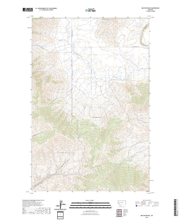
2024 Map of Melton Ranch
USGS Topo · Published 2024About this map
The Little Bitterroot River winds through this high-country landscape where the southern reaches of the Salish Mountains meet the foothills of the Cabinet Mountains. This transition zone is defined by dramatic elevation changes, featuring deep drainage systems like Wilcox Draw, Davenport Draw, and the aptly named Racehorse Gulch. The map reveals a network of high-altitude basins, including the notable Ferry Basin and several managed basin areas such as Ferry Crossing Basin 1000.
Find a feature on this map
21 named features on this map. Tap any name to fly to it.
Don’t see what you’re looking for? This feature index may not catch every label — zoom into the map to look around manually.
Map Details
Editions of this 2024 Melton Ranch Map
This is the sole edition of this map. No revisions or reprints were ever made.
Other maps of this area

1920 · Flathead Lake
USGS Topo · 1:125,000

1956 · Wallace
USGS Topo · 1:250,000

1959 · Perma
USGS Topo · 1:62,500

1960 · Wallace
USGS Topo · 1:250,000

1964 · Dixon
USGS Topo · 1:24,000

1964 · Mc Donald
USGS Topo · 1:24,000

1964 · Melton Ranch
USGS Topo · 1:24,000

1964 · Markle Pass
USGS Topo · 1:24,000

1965 · Sloan
USGS Topo · 1:24,000

1965 · Oliver Point
USGS Topo · 1:24,000