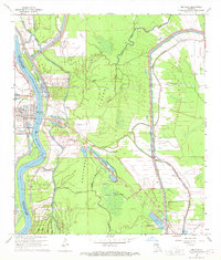
1968 Map of Melville
USGS Topo · Published 1970About this map
The Atchafalaya River corridor defines this portion of the Louisiana landscape, where the Morganza Floodway dictates the movement of water and the layout of human settlements. The town of Melville sits on the western bank, protected by an extensive levee system that includes the historical site of the Melville Crevasse. Across the river, the small communities of Red Cross and Ravenswood are woven into a complex network of waterways, including Bayou Latenache and Johnson Bayou.
Find a feature on this map
35 named features on this map. Tap any name to fly to it.
Don’t see what you’re looking for? This feature index may not catch every label — zoom into the map to look around manually.
Map Details
Editions of this 1968 Melville Map
2 editions found
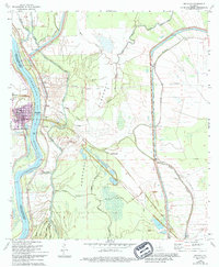
Other maps of this area

1939 · Fordoche
USGS Topo · 1:62,500

1941 · Batchelor
USGS Topo · 1:62,500

1954 · Fordoche
USGS Topo · 1:24,000

1954 · Baton Rouge
USGS Topo · 1:250,000

1955 · Fordoche
USGS Topo · 1:62,500

1955 · Batchelor
USGS Topo · 1:62,500

1955 · Odenburg
USGS Topo · 1:62,500

1956 · Baton Rouge
USGS Topo · 1:250,000

1959 · Fordoche
USGS Topo · 1:62,500

1959 · Palmetto
USGS Topo · 1:62,500