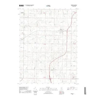
2018 Map of Mendon
USGS Topo · Published 2018About this map
Mendon sits at the heart of this Adams County landscape, where the grid of rural roads meets the winding courses of Grindstone Cr and Ursa Cr. This 2018 survey captures the agricultural character of western Illinois, defined by a dense network of family and community cemeteries that serve as a testament to generations of settlement. Genealogists will find a high concentration of burial sites, from the centrally located Stone Family Cem to the outlying Saint Joseph Cem near Bloomfield and the Stahl Cem south of Fowler. The terrain is deeply etched by a series of drainage systems including Jenkins Cr, Sand Br, and Frazier Cr, which cut through the township blocks. Small-scale water features like Jug Lake punctuate the southern sections, while the village of Ursa marks the western edge of the quadrangle. The map documents the enduring layout of section lines and county roads, such as Co RD 2400 N and N 1850th PL, which continue to anchor the region's transport and property boundaries.
Find a feature on this map
62 named features on this map. Tap any name to fly to it.
Don’t see what you’re looking for? This feature index may not catch every label — zoom into the map to look around manually.
Map Details
Editions of this 2018 Mendon Map
This is the sole edition of this map. No revisions or reprints were ever made.
Other maps of this area

1925 · Quincy
USGS Topo · 1:62,500

1925 · Liberty
USGS Topo · 1:62,500

1927 · Liberty
USGS Topo · 1:62,500

1944 · Quincy
USGS Topo · 1:62,500

1945 · Quincy
USGS Topo · 1:62,500

1946 · Mendon
USGS Topo · 1:62,500

1948 · Quincy
USGS Topo · 1:250,000

1948 · Mendon
USGS Topo · 1:62,500

1948 · Camp Point
USGS Topo · 1:62,500

1956 · Quincy
USGS Topo · 1:250,000