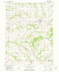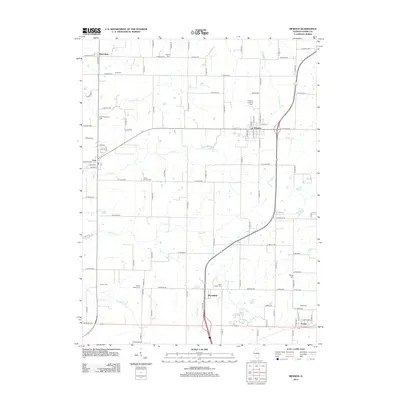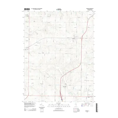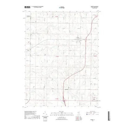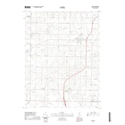
2024 Map of Mendon
USGS Topo · Published 2024About this map
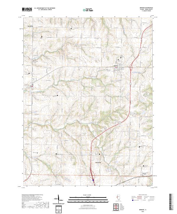
Mendon serves as the primary hub of this Adams County landscape, where the grid of the village meets a complex network of northern Illinois drainage systems. The terrain is defined by the dissection of several major waterways, including Jenkins Creek in the north and the winding Rock Creek and Sand Branch to the south. These streams carve through the agricultural tableland, creating a textured topography that has historically influenced the placement of rural cemeteries and family burial grounds.
Find a feature on this map
95 named features on this map. Tap any name to fly to it.
Don’t see what you’re looking for? This feature index may not catch every label — zoom into the map to look around manually.
Map Details
Editions of this 2024 Mendon Map
This is the sole edition of this map. No revisions or reprints were ever made.
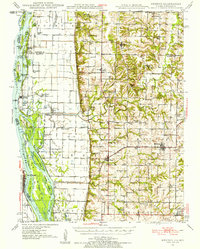
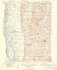
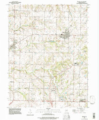
Historical Maps of Mendon Through Time
9 maps found