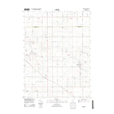
2013 Map of Mendon
USGS Topo · Published 2013About this map
The Saint Marys River winds through the heart of the landscape, providing a natural focal point for the surrounding agriculture of Mercer County. In the village of Mendon, the local layout centers on E Market St and S Main St, while the nearby Mendon Cem and Fryer Cem offer specific locations for genealogical research. The map illustrates a highly managed water system with numerous drainage features like Frisinger Ditch and Ayre Ditch supporting the productive farmlands that define the region.
Find a feature on this map
79 named features on this map. Tap any name to fly to it.
Don’t see what you’re looking for? This feature index may not catch every label — zoom into the map to look around manually.
Map Details
Editions of this 2013 Mendon Map
This is the sole edition of this map. No revisions or reprints were ever made.
Other maps of this area

1911 · Spencerville
USGS Topo · 1:62,500

1911 · Delphos
USGS Topo · 1:62,500

1914 · Celina
USGS Topo · 1:62,500

1914 · Van Wert
USGS Topo · 1:62,500

1944 · Delphos
USGS Topo · 1:62,500

1944 · Van Wert
USGS Topo · 1:62,500

1944 · Celina
USGS Topo · 1:62,500

1944 · Spencerville
USGS Topo · 1:62,500

1953 · Muncie
USGS Topo · 1:250,000

1956 · Muncie
USGS Topo · 1:250,000