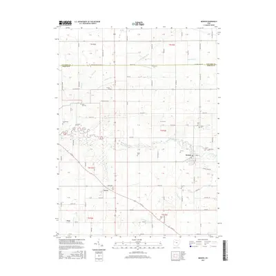
2016 Map of Mendon
USGS Topo · Published 2016About this map
The Saint Marys River meanders across this Mercer County landscape, defining the character of the region just east of the Indiana border. The village of Mendon serves as a local hub, situated where the river turns toward the northwest. This agricultural territory is meticulously divided by a grid of rural routes like Mendon Rd and Shelley Rd, reflecting the long-established Public Land Survey System. Genealogical interest is high throughout the township, with numerous small family and community burial sites scattered across the sections, including the Palmer Cem and the Roebuck Cem.
Find a feature on this map
86 named features on this map. Tap any name to fly to it.
Don’t see what you’re looking for? This feature index may not catch every label — zoom into the map to look around manually.
Map Details
Editions of this 2016 Mendon Map
This is the sole edition of this map. No revisions or reprints were ever made.
Other maps of this area

1911 · Spencerville
USGS Topo · 1:62,500

1911 · Delphos
USGS Topo · 1:62,500

1914 · Celina
USGS Topo · 1:62,500

1914 · Van Wert
USGS Topo · 1:62,500

1944 · Delphos
USGS Topo · 1:62,500

1944 · Van Wert
USGS Topo · 1:62,500

1944 · Celina
USGS Topo · 1:62,500

1944 · Spencerville
USGS Topo · 1:62,500

1953 · Muncie
USGS Topo · 1:250,000

1956 · Muncie
USGS Topo · 1:250,000