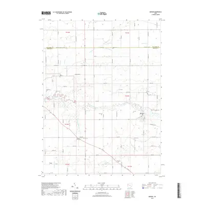
2019 Map of Mendon
USGS Topo · Published 2019About this map
The Saint Marys River winds through this section of Mercer County, anchoring a landscape defined by its agricultural grid and a dense network of drainage ditches like Ayre Ditch and Frisinger Ditch. The village of Mendon sits as the primary hub in the east, while the smaller settlements of Mercer and Tama mark the southern stretches of the map. This 2019 survey shows the persistence of local family names across the terrain, visible in the numerous small burial grounds that dot the countryside, including the Shindeldecker Cem, Roebuck Cem, and Fryer Cem. The intersection of drainage history and topography is evident in the paths of Twelvemile Cr and Kyle Prairie Cr, which cut through the surveyed sections near the Van Wert Co line, illustrating the complex water management required in this part of western Ohio.
Find a feature on this map
84 named features on this map. Tap any name to fly to it.
Don’t see what you’re looking for? This feature index may not catch every label — zoom into the map to look around manually.
Map Details
Editions of this 2019 Mendon Map
This is the sole edition of this map. No revisions or reprints were ever made.
Other maps of this area

1911 · Spencerville
USGS Topo · 1:62,500

1911 · Delphos
USGS Topo · 1:62,500

1914 · Celina
USGS Topo · 1:62,500

1914 · Van Wert
USGS Topo · 1:62,500

1944 · Delphos
USGS Topo · 1:62,500

1944 · Van Wert
USGS Topo · 1:62,500

1944 · Celina
USGS Topo · 1:62,500

1944 · Spencerville
USGS Topo · 1:62,500

1953 · Muncie
USGS Topo · 1:250,000

1956 · Muncie
USGS Topo · 1:250,000