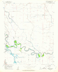
1956 Map of Mendota Dam
USGS Topo · Published 1963About this map
The San Joaquin River defines the central character of this 1956 landscape, where complex water management infrastructure meets industrial agriculture at the boundary of Madera and Fresno counties. The Mendota Dam and the adjacent Mendota Pool serve as a vital hydraulic hub, regulating flows between the Delta-Mendota Canal, the Chowchilla Canal, and the Fresno Slough. This network of canals, including the Aliso Canal and Columbia Canal, reveals the intensive engineering required to sustain the region's large-scale ranching operations.
Find a feature on this map
27 named features on this map. Tap any name to fly to it.
Don’t see what you’re looking for? This feature index may not catch every label — zoom into the map to look around manually.
Map Details
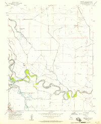
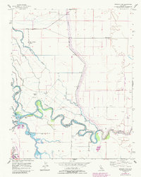
Editions of this 1956 Mendota Dam Map
3 editions found
Other maps of this area

1920 · Bonita Ranch
USGS Topo · 1:31,680

1921 · Mendota
USGS Topo · 1:31,680

1921 · Bonita Ranch
USGS Topo · 1:31,680

1922 · Tufts Ranch
USGS Topo · 1:31,680

1922 · Pozo Farm
USGS Topo · 1:31,680

1922 · Kentucky Well
USGS Topo · 1:31,680

1923 · Firebaugh
USGS Topo · 1:31,680

1924 · Jamesan
USGS Topo · 1:31,680

1924 · Tranquillity
USGS Topo · 1:31,680

1924 · Gravelly Ford
USGS Topo · 1:31,680