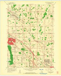
1958 Map of Menomonee Falls
USGS Topo · Published 1961About this map
The Menomonee River and Little Menomonee River systems anchor this mid-century landscape on the edge of Milwaukee, where the transition from rural townships to suburban development is clearly visible. Agricultural legacy remains evident through the numerous Gravel Pit locations and active Quarries near Germantown, while emerging residential patterns are marked by schools such as Lincoln Sch and Sunnyside Sch. The map documents a dense network of local institutions, including the Monastery and Convent in the south, alongside smaller communities like Fussville and Victory Center. Transportation routes like the Chicago Milwaukee St Paul and Pacific railroad bisect the terrain, connecting industrial centers to outlying settlements. This era captures the area just before significant suburban sprawl transformed these small crossroad communities and family-named landmarks like Bailey Sch and Maple Tree Sch into the modern Milwaukee outskirts.
Find a feature on this map
52 named features on this map. Tap any name to fly to it.
Don’t see what you’re looking for? This feature index may not catch every label — zoom into the map to look around manually.
Map Details
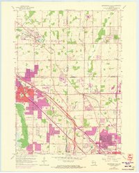
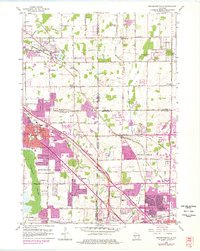
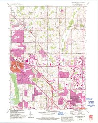
Editions of this 1958 Menomonee Falls Map
4 editions found
Other maps of this area

1892 · Milwaukee
USGS Topo · 1:62,500

1892 · Waukesha
USGS Topo · 1:62,500

1892 · Port Washington
USGS Topo · 1:62,500

1901 · Milwaukee
USGS Topo · 1:62,500

1901 · Waukesha
USGS Topo · 1:62,500

1904 · West Bend
USGS Topo · 1:62,500

1904 · Port Washington
USGS Topo · 1:62,500

1906 · Waukesha
USGS Topo · 1:62,500

1906 · Milwaukee
USGS Topo · 1:62,500

1954 · Milwaukee
USGS Topo · 1:250,000