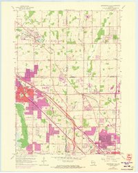
1958 Map of Menomonee Falls
USGS Topo · Published 1973About this map
The Menomonee River and its tributaries, the Little Menomonee Creek and Little Menomonee River, anchor this landscape of transitioning farmland and suburban growth on the outskirts of Milwaukee. The area is dotted with small, historically distinct communities such as Fussville, Germantown, and Freistadt, the latter noted for its early Lutheran settlement history. The map highlights a dense network of local institutions, including Zoar Ch, Trinity Ch, and several parochial sites like St Marys Sch.
Find a feature on this map
69 named features on this map. Tap any name to fly to it.
Don’t see what you’re looking for? This feature index may not catch every label — zoom into the map to look around manually.
Map Details
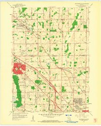
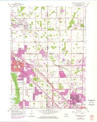
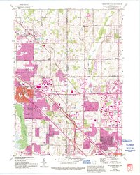
Editions of this 1958 Menomonee Falls Map
4 editions found
Other maps of this area

1892 · Milwaukee
USGS Topo · 1:62,500

1892 · Waukesha
USGS Topo · 1:62,500

1892 · Port Washington
USGS Topo · 1:62,500

1901 · Milwaukee
USGS Topo · 1:62,500

1901 · Waukesha
USGS Topo · 1:62,500

1904 · West Bend
USGS Topo · 1:62,500

1904 · Port Washington
USGS Topo · 1:62,500

1906 · Waukesha
USGS Topo · 1:62,500

1906 · Milwaukee
USGS Topo · 1:62,500

1954 · Milwaukee
USGS Topo · 1:250,000