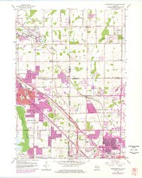
1958 Map of Menomonee Falls
USGS Topo · Published 1977About this map
Fussville and Victory Center stand as distinct markers of settlement in this landscape, situated just before the rapid post-war suburban expansion reached the village limits. The terrain is defined by the winding course of the Menomonee River and the expansive Tamarack Swamp to the west, while the eastern reaches show the early residential plotting of Brown Deer and Mequon. Transportation and industry drive the local economy, with the Chicago and North Western and Chicago Milwaukee St Paul and Pacific railroads cutting through the territory. Cultural and educational life is anchored by numerous neighborhood institutions, including the Holy Cross Ch, Hiawatha Sch, and a Drive-in Theater along the highway. Extensive Gravel Pits and a Quarry near Germantown illustrate the active extraction of local resources as the region transitioned from rural farming to a key component of the Milwaukee metropolitan area.
Find a feature on this map
63 named features on this map. Tap any name to fly to it.
Don’t see what you’re looking for? This feature index may not catch every label — zoom into the map to look around manually.
Map Details
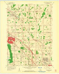
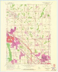
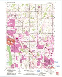
Editions of this 1958 Menomonee Falls Map
4 editions found
Other maps of this area

1892 · Milwaukee
USGS Topo · 1:62,500

1892 · Waukesha
USGS Topo · 1:62,500

1892 · Port Washington
USGS Topo · 1:62,500

1901 · Milwaukee
USGS Topo · 1:62,500

1901 · Waukesha
USGS Topo · 1:62,500

1904 · West Bend
USGS Topo · 1:62,500

1904 · Port Washington
USGS Topo · 1:62,500

1906 · Waukesha
USGS Topo · 1:62,500

1906 · Milwaukee
USGS Topo · 1:62,500

1954 · Milwaukee
USGS Topo · 1:250,000