2022 Map of Menomonie South
USGS Topo · Published 2022About this map
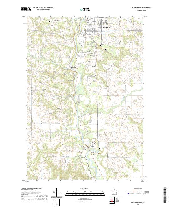
The Red Cedar River carves a deep valley through this portion of Dunn County, anchoring a landscape where rural cemeteries and small settlements trace generations of local history. From the southern edge of Menomonie, the terrain follows the river downstream past Irvington to the community of Downsville. The conversion of old transportation corridors is evident in the Red Cedar State Trl, which mirrors the river's winding course through the valley. This 2022 survey provides significant genealogical data, documenting numerous burial grounds such as Saint Pauls Cem, Peace Cem, and Rosehill Cem that serve as land anchors for the surrounding farmsteads. Prominent geographic markers like The Pinnacle overlook the confluence of smaller tributaries, including Irving Cr and Little Elk Cr, illustrating the drainage patterns that shaped early land use in the region.
Find a feature on this map
32 named features on this map. Tap any name to fly to it.
Don’t see what you’re looking for? This feature index may not catch every label — zoom into the map to look around manually.
Map Details
Editions of this 2022 Menomonie South Map
This is the sole edition of this map. No revisions or reprints were ever made.
Historical Maps of Hawk Ridge Through Time
28 maps found

1972 Colfax South
Dunn County, WI

1972 Durand North
Dunn County, WI

1972 Elk Creek Lake
Dunn County, WI
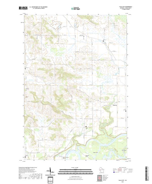
1972 Falls City
Dunn County, WI

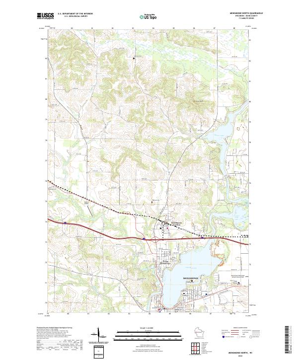
1972 Menomonie North
Dunn County, WI
1972 Menomonie South
Dunn County, WI

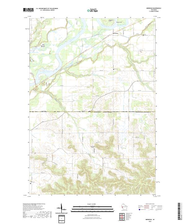
1972 Meridean
Dunn County, WI

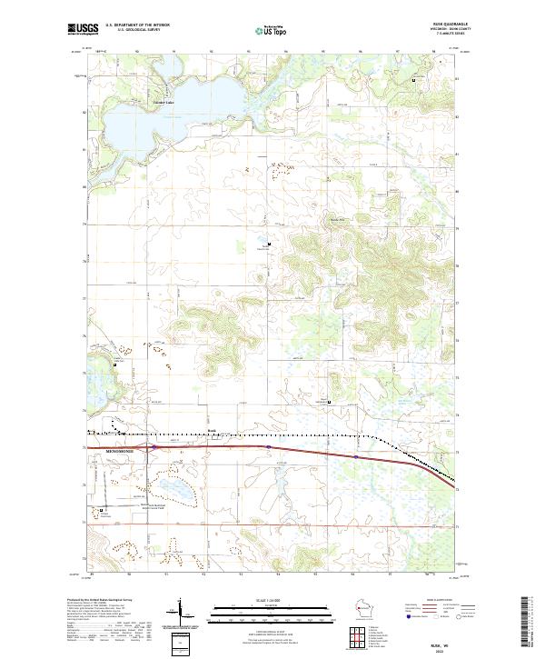
1972 Rusk
Dunn County, WI

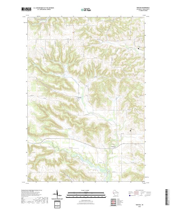
1974 Weston
Dunn County, WI

1975 Colfax North
Dunn County, WI

1975 Connorsville
Dunn County, WI

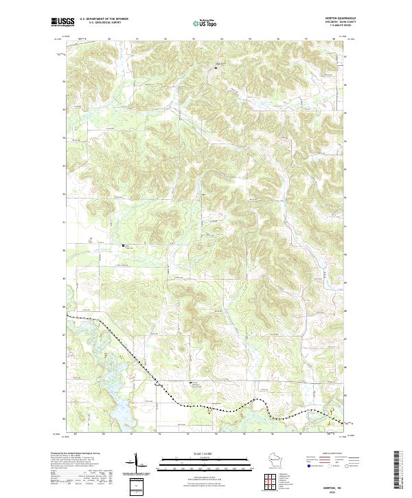
1975 Norton
Dunn County, WI

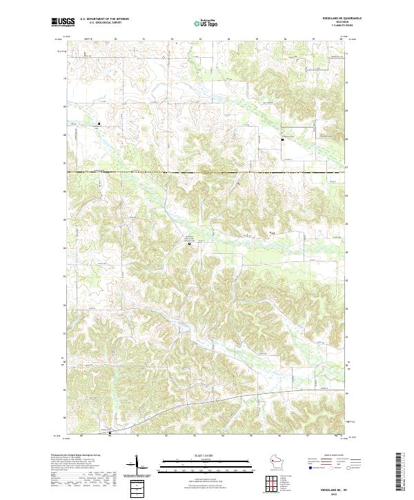
1975 Ridgeland NE
Dunn County, WI

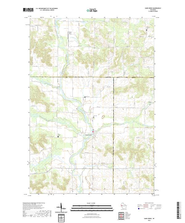
1975 Sand Creek
Dunn County, WI
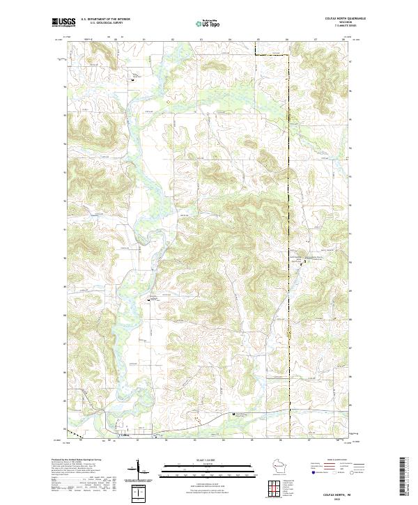
2022 Colfax North
Dunn County, WI
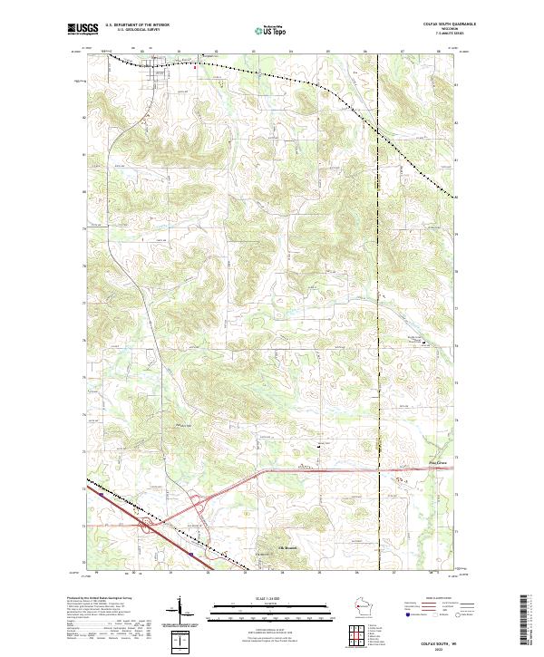
2022 Colfax South
Dunn County, WI
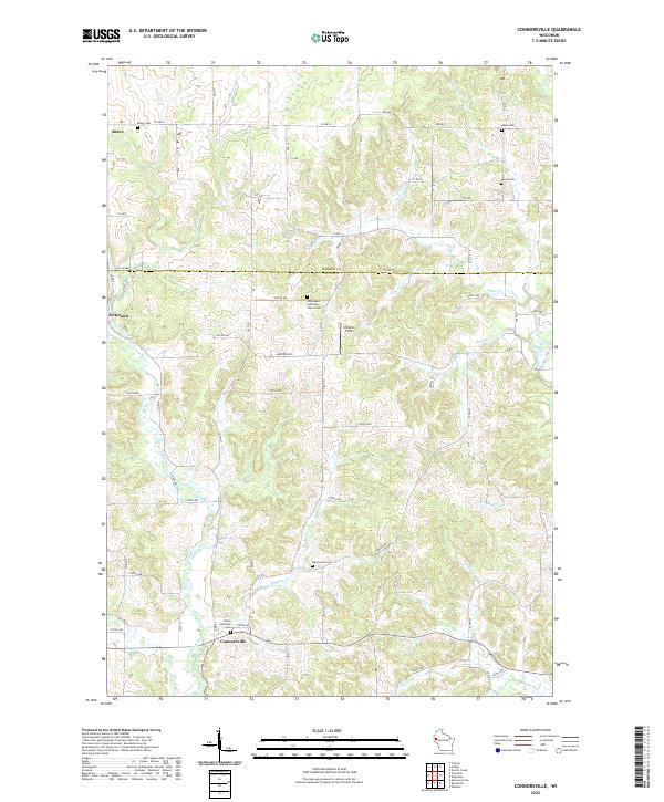
2022 Connorsville
Dunn County, WI
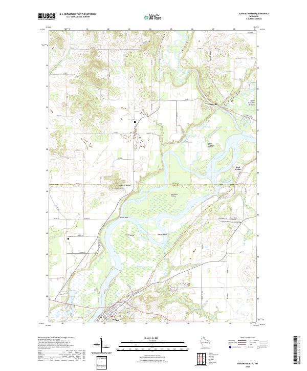
2022 Durand North
Dunn County, WI
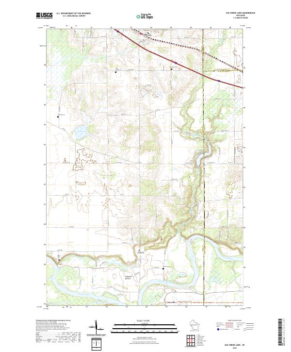
2022 Elk Creek Lake
Dunn County, WI
2022 Falls City
Dunn County, WI
2022 Menomonie North
Dunn County, WI
2022 Menomonie South
Dunn County, WI
2022 Meridean
Dunn County, WI
2022 Norton
Dunn County, WI
2022 Ridgeland NE
Dunn County, WI
2022 Rusk
Dunn County, WI
2022 Sand Creek
Dunn County, WI
2022 Weston
Dunn County, WI