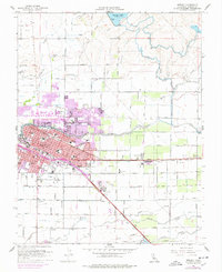
1961 Map of Merced
USGS Topo · Published 1978About this map
The city of Merced serves as the central hub of this 1961 survey, showing a landscape defined by its irrigation infrastructure and dual rail lines. The Southern Pacific and Atchison Topeka and Santa Fe railroads slice through the valley, anchoring industrial and residential growth. Purple overprint revisions from 1976 reveal the rapid expansion of the city limits, particularly near the Merced Hospital and the campus of El Capitan High Sch.
Find a feature on this map
55 named features on this map. Tap any name to fly to it.
Don’t see what you’re looking for? This feature index may not catch every label — zoom into the map to look around manually.
Map Details
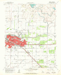
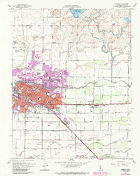
Editions of this 1961 Merced Map
3 editions found
Other maps of this area

1914 · Merced
USGS Topo · 1:31,680

1916 · Hopeton
USGS Topo · 1:31,680

1917 · Winton
USGS Topo · 1:31,680

1917 · Merced
USGS Topo · 1:31,680

1918 · Lingard
USGS Topo · 1:31,680

1918 · Atwater
USGS Topo · 1:31,680

1918 · Sandy Mush
USGS Topo · 1:31,680

1918 · Planada
USGS Topo · 1:31,680

1919 · Haystack Mountain
USGS Topo · 1:31,680

1919 · Plainsberg
USGS Topo · 1:31,680