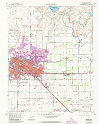
1961 Map of Merced
USGS Topo · Published 1987About this map
Merced stands at the intersection of major transportation corridors in the mid-20th century, defined by the parallel tracks of the Southern Pacific and the Atchison Topeka and Santa Fe railroads. The town's growth is visible through the expansion of residential blocks and educational institutions like Merced College and El Capitan High Sch. Beyond the urban core, the landscape transitions into a complex hydraulic network of canals, including the Fairfield Canal and Le Grand Canal, which support the surrounding agricultural fields.
Find a feature on this map
68 named features on this map. Tap any name to fly to it.
Don’t see what you’re looking for? This feature index may not catch every label — zoom into the map to look around manually.
Map Details
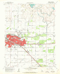
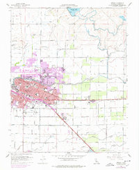
Editions of this 1961 Merced Map
3 editions found
Other maps of this area

1914 · Merced
USGS Topo · 1:31,680

1916 · Hopeton
USGS Topo · 1:31,680

1917 · Winton
USGS Topo · 1:31,680

1917 · Merced
USGS Topo · 1:31,680

1918 · Lingard
USGS Topo · 1:31,680

1918 · Atwater
USGS Topo · 1:31,680

1918 · Sandy Mush
USGS Topo · 1:31,680

1918 · Planada
USGS Topo · 1:31,680

1919 · Haystack Mountain
USGS Topo · 1:31,680

1919 · Plainsberg
USGS Topo · 1:31,680