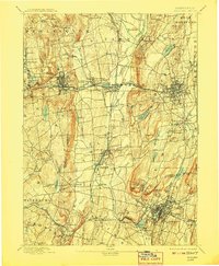
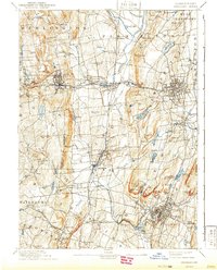
1893 Map of Meriden
USGS Topo · Published 1908About this map
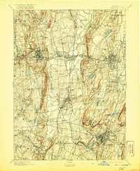
Meriden and the surrounding manufacturing towns of central Connecticut appear at a peak of industrial development in this late nineteenth-century survey. The landscape is defined by the dramatic basalt ridges of the Hanging Hills, including the prominent West Peak, which look down upon a dense network of river-powered settlements and rail corridors. The Quinnipac River and Pequabuck River valleys serve as the primary arteries for transit and industry, supporting established centers like Bristol, New Britain, and Southington. Local commerce is heavily influenced by the Northampton Division railroad and the New York and New Haven Railroad, which connect smaller nodes such as Plantsville and Milldale. Beyond the industrial hubs, the map traces the intricate water management systems of the era, from the Shuttle Meadow Reservoir to numerous mill ponds and brooks that powered the region's famous metalworking and clock-making trades.
Find a feature on this map
95 named features on this map. Tap any name to fly to it.
Don’t see what you’re looking for? This feature index may not catch every label — zoom into the map to look around manually.
Map Details
Editions of this 1893 Meriden Map
10 editions found

Other maps of this area

1889 · Derby
USGS Topo · 1:62,500

1891 · Derby
USGS Topo · 1:62,500

1892 · Winsted
USGS Topo · 1:62,500

1892 · Hartford
USGS Topo · 1:62,500

1892 · New Haven
USGS Topo · 1:62,500

1892 · Meriden
USGS Topo · 1:62,500

1892 · Granby
USGS Topo · 1:62,500

1893 · Guilford
USGS Topo · 1:62,500

1893 · Middletown
USGS Topo · 1:62,500

1893 · Waterbury
USGS Topo · 1:62,500