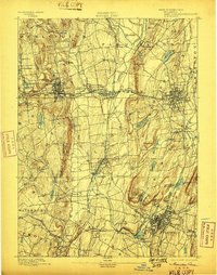
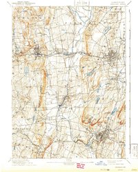
1893 Map of Meriden
USGS Topo · Published 1898About this map
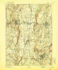
Industrial expansion and rail connectivity dominate the landscape of central Connecticut in the late nineteenth century. The New York New Haven and Hartford Railroad and the New York New England Railroad form a complex web through manufacturing hubs like Bristol, New Britain, and Meriden. The map reveals the critical importance of water management for these growing towns, showing numerous bodies such as the Shuttle Meadow Reservoir, Hartford Reservoir, and Bristol Res..
Find a feature on this map
73 named features on this map. Tap any name to fly to it.
Don’t see what you’re looking for? This feature index may not catch every label — zoom into the map to look around manually.
Map Details
Editions of this 1893 Meriden Map
10 editions found

Other maps of this area

1889 · Derby
USGS Topo · 1:62,500

1891 · Derby
USGS Topo · 1:62,500

1892 · Winsted
USGS Topo · 1:62,500

1892 · Hartford
USGS Topo · 1:62,500

1892 · New Haven
USGS Topo · 1:62,500

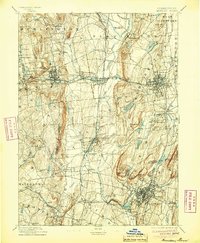
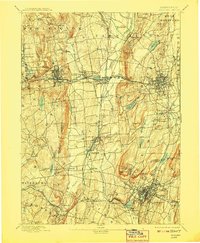
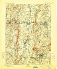
1892 · Meriden
USGS Topo · 1:62,500

1892 · Granby
USGS Topo · 1:62,500

1893 · Guilford
USGS Topo · 1:62,500

1893 · Middletown
USGS Topo · 1:62,500

1893 · Waterbury
USGS Topo · 1:62,500