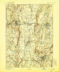
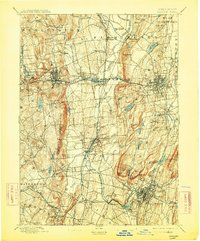
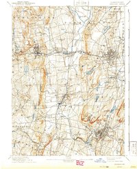
1893 Map of Meriden
USGS Topo · Published 1921About this map
Meriden and its industrial surroundings appear here in the final years of the 19th century, a time when the region's dense rail network and manufacturing centers were fully established. The map highlights the significant elevation changes that define the Central Lowland, with prominent features like West Peak and Cathole Mt. overlooking the expanding urban grids of Bristol and New Britain. The landscape is a complex weave of water power and transportation, where the Quinnipiac River and Pequabuck River supported numerous mill sites.
Find a feature on this map
97 named features on this map. Tap any name to fly to it.
Don’t see what you’re looking for? This feature index may not catch every label — zoom into the map to look around manually.
Map Details
Editions of this 1893 Meriden Map
10 editions found

Other maps of this area

1889 · Derby
USGS Topo · 1:62,500

1891 · Derby
USGS Topo · 1:62,500

1892 · Winsted
USGS Topo · 1:62,500

1892 · Hartford
USGS Topo · 1:62,500

1892 · New Haven
USGS Topo · 1:62,500

1892 · Meriden
USGS Topo · 1:62,500

1892 · Granby
USGS Topo · 1:62,500

1893 · Guilford
USGS Topo · 1:62,500

1893 · Middletown
USGS Topo · 1:62,500

1893 · Waterbury
USGS Topo · 1:62,500