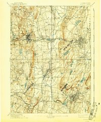
1893 Map of Meriden
USGS Topo · Published 1941About this map
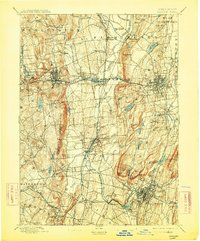
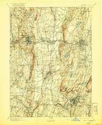
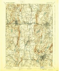
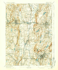
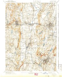
The industrial and agricultural valleys of central Connecticut are documented here just before the turn of the century. Large manufacturing centers like Bristol, New Britain, and Meriden show dense street grids and established rail connections, while the surrounding hills remain dotted with small settlements like Whigville, Marion, and Mixville. The Quinnipac River and the Farmington River anchor the drainage of the region, feeding various reservoirs and ponds such as Shuttle Meadow Reservoir and Hanover Pond. Transportation is dominated by the complex web of the New York New Haven and Hartford Railroad and the Northampton Div., which facilitated the movement of goods from the brass and hardware factories that defined these towns. Topographical features like Rattlesnake Mt. and Lamontation Mountain rise sharply above the river plains, illustrating the geographic constraints that shaped local settlement patterns.
Find a feature on this map
97 named features on this map. Tap any name to fly to it.
Don’t see what you’re looking for? This feature index may not catch every label — zoom into the map to look around manually.
Map Details
Editions of this 1893 Meriden Map
10 editions found

Other maps of this area

1889 · Derby
USGS Topo · 1:62,500

1891 · Derby
USGS Topo · 1:62,500

1892 · Winsted
USGS Topo · 1:62,500

1892 · Hartford
USGS Topo · 1:62,500

1892 · New Haven
USGS Topo · 1:62,500

1892 · Meriden
USGS Topo · 1:62,500

1892 · Granby
USGS Topo · 1:62,500

1893 · Guilford
USGS Topo · 1:62,500

1893 · Middletown
USGS Topo · 1:62,500

1893 · Waterbury
USGS Topo · 1:62,500