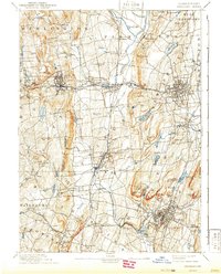
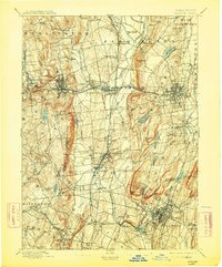
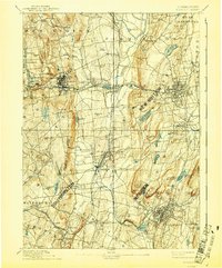
1893 Map of Meriden
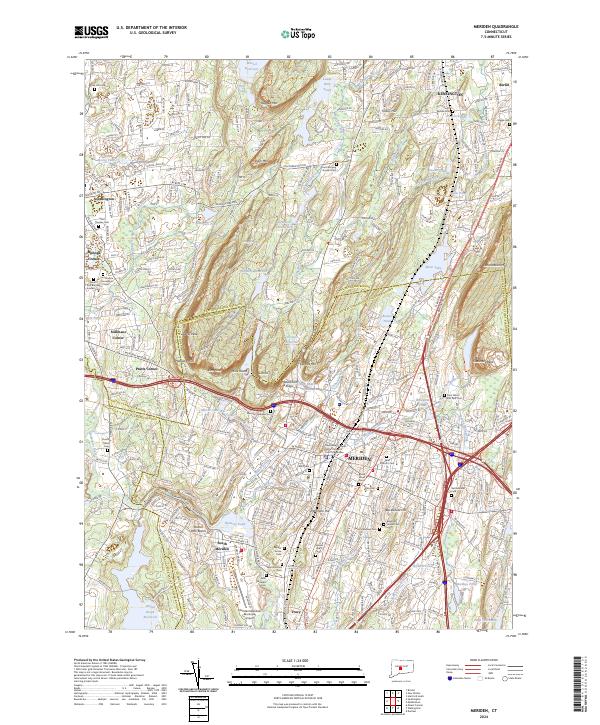
USGS Topo · Published 1941About this map
The Hanging Hills and Chauncey Peak dominate the southern landscape of this Central Connecticut region during the late nineteenth century. At this time, the Quinnipiac River and Pequabuck River provided the essential water power and drainage for a corridor of industrial and agricultural growth. The map illustrates a dense network of rail connections, including the Northampton Division and the Collinsville Branch, which linked manufacturing centers like Bristol and Meriden to the wider New England economy. Notable local landmarks such as Shuttle Meadow Reservoir and the high elevation of West Peak overlook a series of tight-knit villages like Plantsville, Milldale, and Forestville. This period shows the transition from smaller settlements like Whigville and Polkville toward the more urbanized centers of New Britain and Southington, with the landscape still punctuated by family-named heights like Chippen Hill and Federal Hill.
Find a feature on this map
102 named features on this map. Tap any name to fly to it.
Don’t see what you’re looking for? This feature index may not catch every label — zoom into the map to look around manually.
Map Details
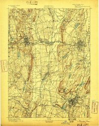
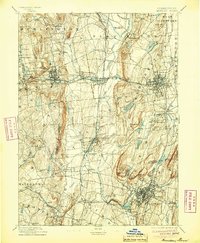
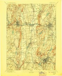
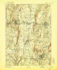
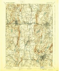
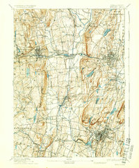
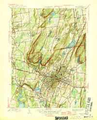
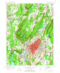
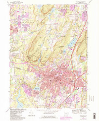
Editions of this 1893 Meriden Map
10 editions found

Historical Maps of Waterbury Through Time
10 maps found

1892 Meriden
New Haven County, CT
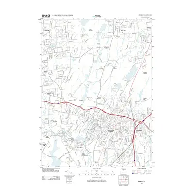
1893 Meriden
New Haven County, CT
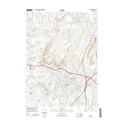
1946 Meriden
New Haven County, CT
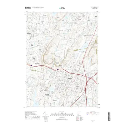
1955 Meriden
New Haven County, CT
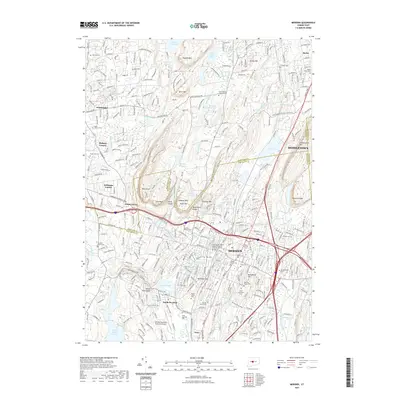
1967 Meriden
New Haven County, CT
2012 Meriden
New Haven County, CT
2015 Meriden
New Haven County, CT
2018 Meriden
New Haven County, CT
2021 Meriden
New Haven County, CT
2024 Meriden
New Haven County, CT