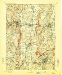
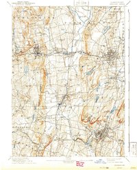
1893 Map of Meriden
USGS Topo · Published 1913About this map
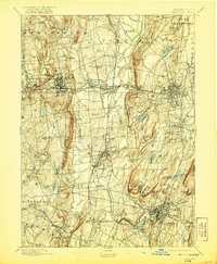
Industrial nodes and steep trap-rock ridges define this central Connecticut landscape in the late nineteenth century. Meriden serves as a major rail hub, anchored by the New York New Haven & Hartford R.R. and several divisional lines that connect settlements like Plantsville, Milldale, and Tracy. The terrain is dominated by prominent north-south elevations such as West Peak, Ragged Mountain, and the striking Lamentation Mountain, which overlook a network of mills and manufacturing centers. Along the Pequabuck River, communities including Terryville and Pequabuck Post Office show the era's reliance on water power, while larger municipal works like Shuttle Meadow Reservoir and Hanover Pond highlight the growing infrastructure needs of the surrounding townships. This 1893 edition documents the area before twentieth-century suburban expansion, preserving the locations of early stations like Southington Road Station and smaller hamlets such as Mixville.
Find a feature on this map
95 named features on this map. Tap any name to fly to it.
Don’t see what you’re looking for? This feature index may not catch every label — zoom into the map to look around manually.
Map Details
Editions of this 1893 Meriden Map
10 editions found

Other maps of this area

1889 · Derby
USGS Topo · 1:62,500

1891 · Derby
USGS Topo · 1:62,500

1892 · Winsted
USGS Topo · 1:62,500

1892 · Hartford
USGS Topo · 1:62,500

1892 · New Haven
USGS Topo · 1:62,500

1892 · Meriden
USGS Topo · 1:62,500

1892 · Granby
USGS Topo · 1:62,500

1893 · Guilford
USGS Topo · 1:62,500

1893 · Middletown
USGS Topo · 1:62,500

1893 · Waterbury
USGS Topo · 1:62,500