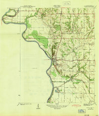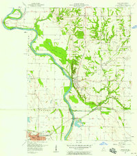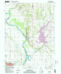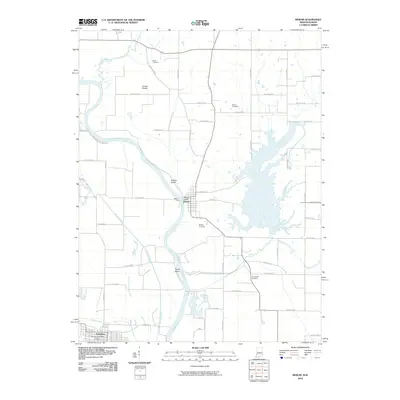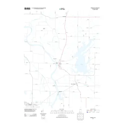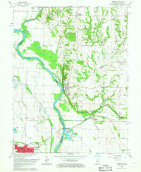
1966 Map of Merom
USGS Topo · Published 1967About this map
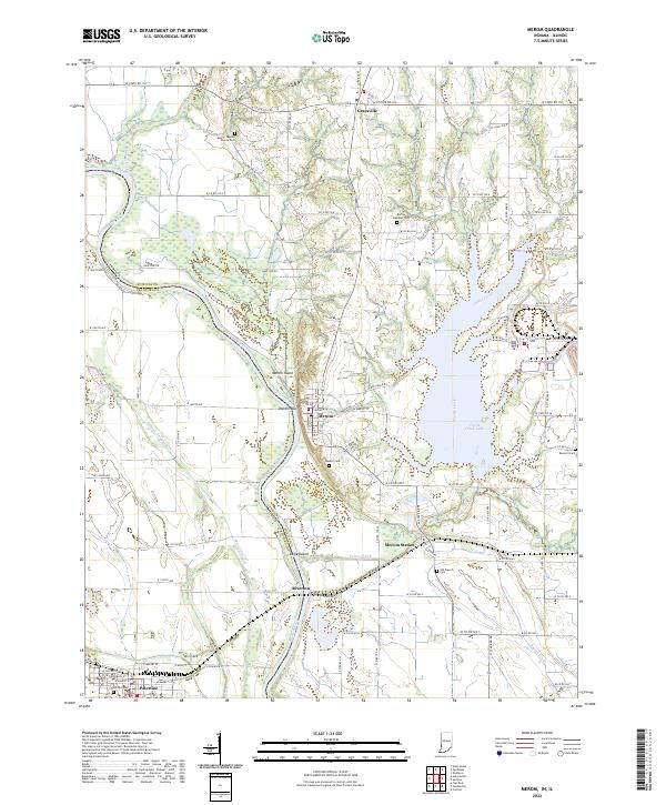
The Wabash River serves as the dominant geographical and political boundary on this mid-century survey, dividing Sullivan County, Indiana, from Crawford County, Illinois. The river's shifting path and floodplain have created significant features such as Merom Island and Eagle Island, alongside intricate water systems like Minnow Slough and Clear Pond. On the Indiana side, the town of Merom sits atop the high bluffs, while the Illinois side is anchored by Palestine, showing a dense grid of streets and industry near the Sugar Creek drainage.
Find a feature on this map
34 named features on this map. Tap any name to fly to it.
Don’t see what you’re looking for? This feature index may not catch every label — zoom into the map to look around manually.
Map Details
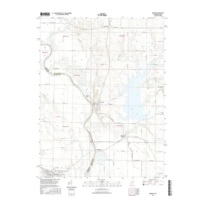
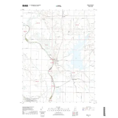
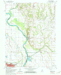
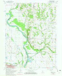
Editions of this 1966 Merom Map
4 editions found
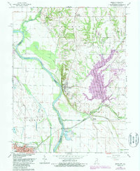
Historical Maps of Palestine Through Time
9 maps found