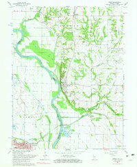
1966 Map of Merom
USGS Topo · Published 1984About this map
The Wabash River carves a winding path through this mid-1960s borderland, defining the boundary between Illinois and Indiana. The settlement of Merom occupies a prominent position near Merom Bluff, overlooking a landscape of active resource extraction and agriculture. To the south, the industrial presence of Riverton is marked by a Conveyor and Gravel Pit along the riverbanks, while the Central Illinois rail line links the river crossings to the interior. Genealogical data is particularly dense here, with numerous family and community burial grounds such as Mann Cem, Massey Cem, and Old French Cem scattered across the township lines. The floodplain is complex, featuring secondary channels and landforms like Merom Island, Eagle Island, and the quiet waters of Clear Pond and Minnow Slough.
Find a feature on this map
40 named features on this map. Tap any name to fly to it.
Don’t see what you’re looking for? This feature index may not catch every label — zoom into the map to look around manually.
Map Details
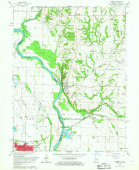
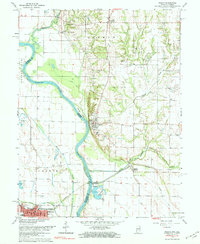
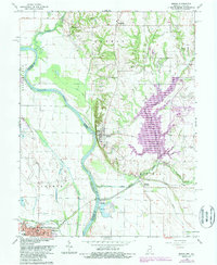
Editions of this 1966 Merom Map
4 editions found
Other maps of this area

1917 · Birds
USGS Topo · 1:62,500

1942 · Fairbanks
USGS Topo · 1:24,000

1942 · Shelburn
USGS Topo · 1:24,000

1942 · Birds
USGS Topo · 1:62,500

1943 · Merom
USGS Topo · 1:24,000

1943 · Carlisle
USGS Topo · 1:24,000

1943 · Sullivan
USGS Topo · 1:24,000

1952 · Fairbanks
USGS Topo · 1:24,000

1952 · Shelburn
USGS Topo · 1:24,000

1953 · Indianapolis
USGS Topo · 1:250,000