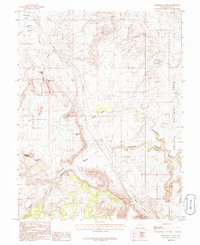
1985 Map of Merrimac Butte
USGS Topo · Published 1986About this map
Merrimac Butte and the adjacent Monitor Butte stand as prominent landmarks in this high-desert region of Grand County during the mid-1980s. The landscape is defined by its dramatic geological features, including the western edge of Arches National Park and the deep incisions of Sevenmile Canyon and Moab Canyon. Human activity in this arid environment is recorded through a network of extraction sites, with a Mine, multiple Mine Shafts, and a Gravel Pit scattered across the terrain near Corral Canyon.
Find a feature on this map
24 named features on this map. Tap any name to fly to it.
Don’t see what you’re looking for? This feature index may not catch every label — zoom into the map to look around manually.
Map Details
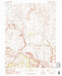
Editions of this 1985 Merrimac Butte Map
2 editions found
Other maps of this area

1885 · La Sal
USGS Topo · 1:250,000

1951 · The Knoll
USGS Topo · 1:62,500

1952 · Moab 4 NW
USGS Topo · 1:24,000

1952 · Moab 3 NE
USGS Topo · 1:24,000

1952 · Moab 3 SE
USGS Topo · 1:24,000

1952 · Moab 4 SW
USGS Topo · 1:24,000

1956 · Moab
USGS Topo · 1:250,000

1958 · Crescent Junction
USGS Topo · 1:62,500

1958 · Thompson
USGS Topo · 1:62,500

1959 · Moab
USGS Topo · 1:250,000