Loading...
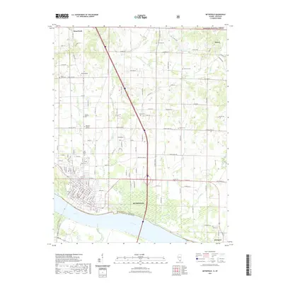
Loading map...1982 Map of Metropolis
USGS Topo · Published 1990About this map
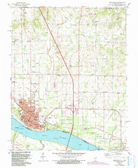
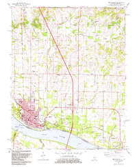
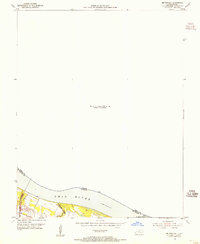
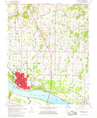
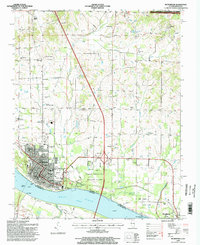
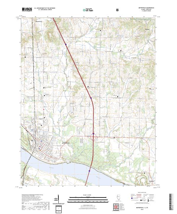
Metropolis anchors this riverfront landscape at a critical bend in the Ohio River, where the historic Fort Massac State Park stands as a sentinel over the water. The town’s 1980s infrastructure is well-defined, showing the Courthouse, Po, and a network of schools such as the High Sch and Jr High Sch. To the east, the river's commerce is marked by Lock and Dam No 52 and an Old Railroad Grade that traces the shoreline near Brookport.
Find a feature on this map
53 named features on this map. Tap any name to fly to it.
Don’t see what you’re looking for? This feature index may not catch every label — zoom into the map to look around manually.
Map Details
Date Portrayed1982
Date Published1990
PublisherU.S. Geological Survey
Map TypeTopographic
Scale1:24,000
Physical Dimensions22 x 26.8 inches
Editions of this 1982 Metropolis Map
2 editions found
Historical Maps of Metropolis Through Time
9 maps found
Featured Locations
Source Details
SourceU.S. Geological Survey
CopyrightPublic Domain