
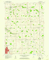
1959 Map of Miami
USGS Topo · Published 1960About this map
Deer Creek and its many man-made tributaries, such as Klise Ditch and Grinslade Ditch, define the agricultural landscape along the Miami and Howard County line. In the late 1950s, this region maintained a dense network of small rural settlements and family landmarks. Small communities like Bennetts Switch and Wawpecong are anchored by local institutions such as Rich Valley Church and several family cemeteries, including Hochstedler Cemetery and Chitick Cemetery.
Find a feature on this map
50 named features on this map. Tap any name to fly to it.
Don’t see what you’re looking for? This feature index may not catch every label — zoom into the map to look around manually.
Map Details
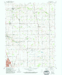
Editions of this 1959 Miami Map
3 editions found
Other maps of this area

1951 · Onward
USGS Topo · 1:24,000

1951 · Bunker Hill
USGS Topo · 1:24,000

1953 · Peoria
USGS Topo · 1:24,000

1953 · Danville
USGS Topo · 1:250,000

1953 · Muncie
USGS Topo · 1:250,000

1955 · Danville
USGS Topo · 1:250,000

1956 · Muncie
USGS Topo · 1:250,000

1956 · Danville
USGS Topo · 1:250,000

1959 · Galveston
USGS Topo · 1:24,000

1960 · Kokomo West
USGS Topo · 1:24,000