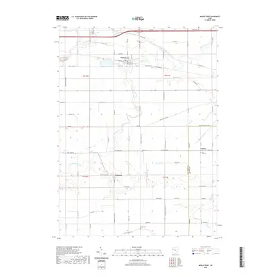
2019 Map of Middle Point
USGS Topo · Published 2019About this map
The Little Auglaize River meanders across this rural landscape, forming the geographic heart of a region defined by its agricultural grid and small crossroads settlements. Near the northern boundary, Middle Point serves as a local hub where W Railroad St and Middlepoint Rd intersect, while further south, the village of Venedocia and the community of Landeck anchor the lower sections of the sheet. The map reveals a dense network of family and community history through its numerous burial grounds, including King Cem in the north and Wright Cem near the southern edge.
Find a feature on this map
70 named features on this map. Tap any name to fly to it.
Don’t see what you’re looking for? This feature index may not catch every label — zoom into the map to look around manually.
Map Details
Editions of this 2019 Middle Point Map
This is the sole edition of this map. No revisions or reprints were ever made.
Other maps of this area

1911 · Spencerville
USGS Topo · 1:62,500

1911 · Delphos
USGS Topo · 1:62,500

1914 · Celina
USGS Topo · 1:62,500

1914 · Van Wert
USGS Topo · 1:62,500

1944 · Delphos
USGS Topo · 1:62,500

1944 · Van Wert
USGS Topo · 1:62,500

1944 · Celina
USGS Topo · 1:62,500

1944 · Spencerville
USGS Topo · 1:62,500

1953 · Muncie
USGS Topo · 1:250,000

1956 · Muncie
USGS Topo · 1:250,000